The primary attraction had been the mountains. We were in the foothills on the eastern flank of the Cascade Range. I was getting out into the wild probably every week from summer to the start of winter. Here are a few excerpts.
Darling Mountain
One of my first exploration, maybe the first, was on a Tuesday I had off work, when I drove up the Middle Fork from Tampico and then logging roads to Darling Mountain crest. Sheep scats and tracks around the snow and awesome meadows. Old site of forest fire lookout, since torn down. Climbed a dead tree to enhance the view. Mount Hood, above clouds. Adams, thrusting into them, closer. Goat Rocks across the way, and St. Helens’ perfect cone beyond. Straight ahead, following the road, Rainier thicker into the clouds somehow superior to the others. Then, a golden eagle sailing straight toward me, turning off perhaps 30 yards away, soaring off, circling briefly, and disappearing. With my guest status, I gave gratitude.
Deep forests were extraordinary.
I had no idea that this was on the second-highest logging road in the state.
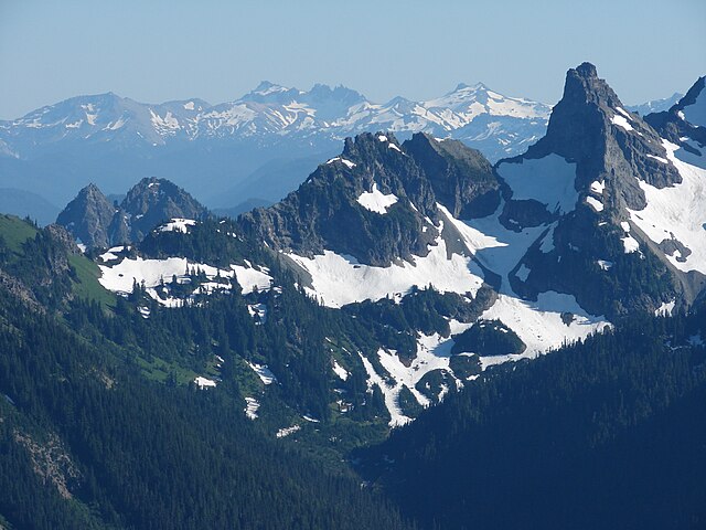
Rainier route
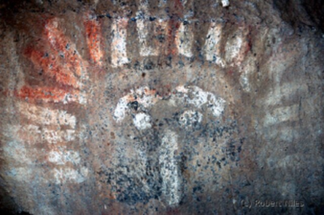
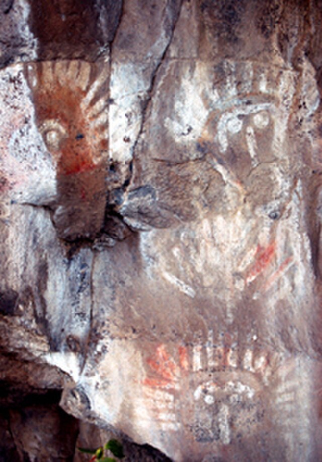
On another trip, on my way to Mount Rainier, saw my first petroglyphs (rock inscriptions) and petrographs (rock paintings) outside of Naches. The paintings looked a little faked — red and white, perhaps with a little blue or red.
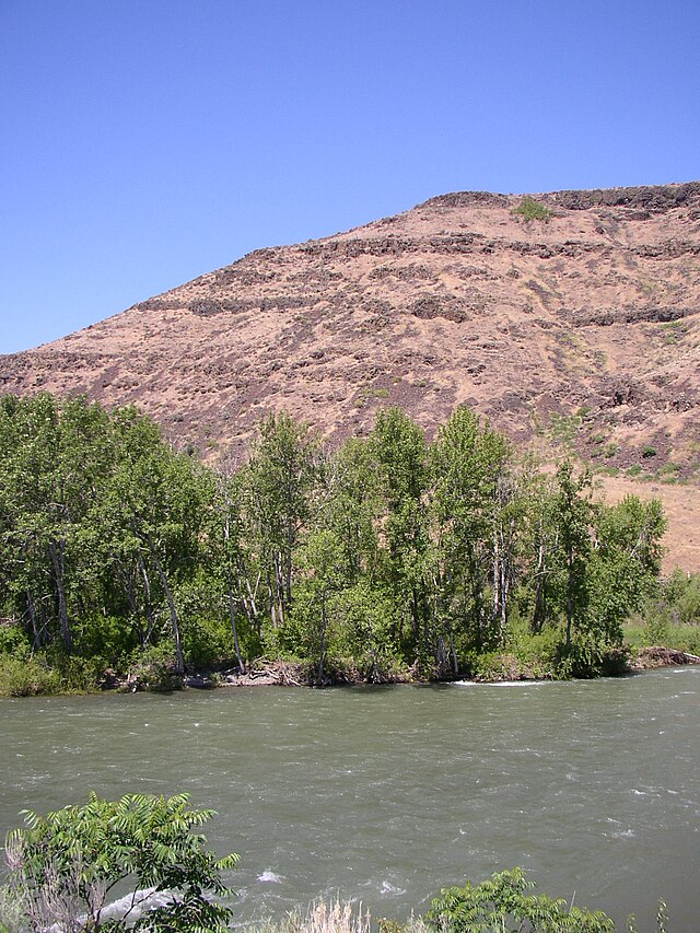
Our routes to Rainier were progressions through ecosystems that became familiar over repeated exposure as we drove from sagebrush desert into ponderosa pines and reservoirs of future irrigation waters on our way to the high country of the Cascade Crest and the rainforests beyond.
Rainier hikes inspired many poems as well as scenes in my novel Nearly Canaan.
Each day trip was intoxicating.
To the south
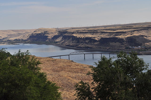
John Day Dam in Columbia River: fish ladder and 80-foot drop of locks: air in stomach, at man’s mass of cement: aluminum company by the RR tracks.
Steam locomotive at Maryhill State Park, reflecting Sam Hill’s source of wealth: Maryhill Museum of Fine Arts, his castle above the palisades, green lawn dropping off into clouds. The sculpture studies by Rodin the claim to fame. During the trip, pondering Mount Adams vs Rainier …
~*~
Along the way
Sweet vinegar smell of hay [up to 5 mowings a year in the interior Far West; the hay was grown in the sunny lands east of the Cascades, and much of it was trucked to dairy farms and other livestock operations on the rainy western side of the mountains].
~*~
From Spiralbound Cascadia with commentary.


