Not all of my exploration of our new world was on foot or on wheels

My encounters with the unfamiliar terrain of the Western mountains and desert had me reading everything I could find. The public library was a good start.

As I noted:

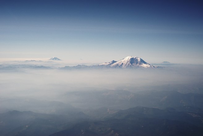
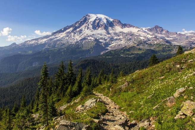
Rainier, honeycomb mountain, radiating heat under all that ice and snow — so fragile a good explosion could level it all … a new appreciation for “the temple tops” …

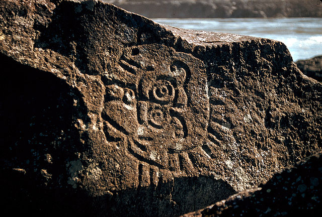
Regarding petroglyphs at the Dalles, to the south of us on the Columbia River:

“It seems impossible to decipher these inscriptions satisfactorily as it is not likely anyone except the makers and those living at the time the work was done could tell what was meant by them” — Newcombe, 1907

Also in Beth and Ray Hill’s Indian Petroglyphs of the Pacific Northwest, 1974, University of Washington Press:

“To make my name good” as a Northwest Native’s goal in life …

~*~

Petroglyph from the Columbia River at Rocky Reach Dam Museum, Chelan County Washington. Rock was rescued from the shores of the Columbia River before the dam flooded it, but many more were not saved. Photo by Thayne Tuason.


Indigenous petroglyphs in Columbia River Gorge near the Dalles Dam by U.S. Army Corps of Engineers, photographer unknown.

~*~

My explorations fill a number of poems and much of my novel Nearly Canaan and of Kokopelli in the Secret Side of Jaya. In fact, I’ve considered the place to be a central character in itself.

~*~

One book I found most useful in understanding the social differences in the Far West was Anti-California. Many of the points its author raised regarding the Golden State fit what I was seeing in the Pacific Northwest. For instance, few children grew up within a day’s drive of their grandparents or aunts and uncles. He saw that as extending into social life in general, which tended to be more polarized, using the Roman Catholic church as an example in having both one of the most conservative cardinals in the world as well as an entire order of nuns that broke away. (I could add that Quakers there came in two opposite camps, liberal “unprogrammed” meetings and pastor-led evangelical churches.) You get the idea. The author had been a correspondent for Newsweek magazine and other respectable periodicals. I didn’t recall the 1971 book’s subtitle, “Report from our first parafascist state,” or know anything about the author, Kenneth Lamott, father of novelist Anne Lamott. As I’m now hearing, he was quite a flamboyant character, to put it mildly. I do wonder how I’d see that book now.

~*~

From Spiralbound Cascadia with commentary.
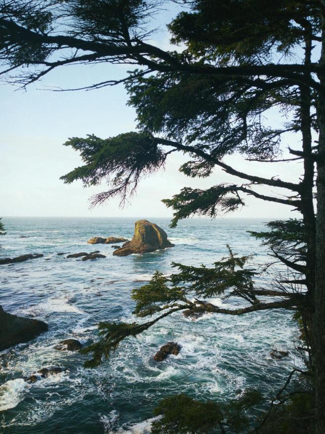
 

My initial explorations in the Cascades

The primary attraction had been the mountains. We were in the foothills on the eastern flank of the Cascade Range. I was getting out into the wild probably every week from summer to the start of winter. Here are a few excerpts.

Darling Mountain

One of my first exploration, maybe the first, was on a Tuesday I had off work, when I drove up the Middle Fork from Tampico and then logging roads to Darling Mountain crest. Sheep scats and tracks around the snow and awesome meadows. Old site of forest fire lookout, since torn down. Climbed a dead tree to enhance the view. Mount Hood, above clouds. Adams, thrusting into them, closer. Goat Rocks across the way, and St. Helens’ perfect cone beyond. Straight ahead, following the road, Rainier thicker into the clouds somehow superior to the others. Then, a golden eagle sailing straight toward me, turning off perhaps 30 yards away, soaring off, circling briefly, and disappearing. With my guest status, I gave gratitude.

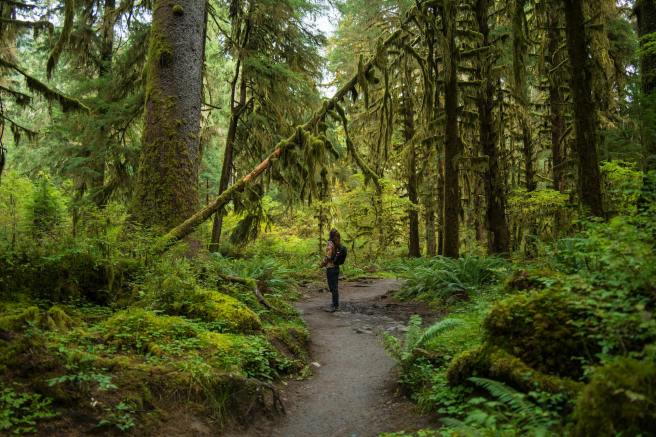
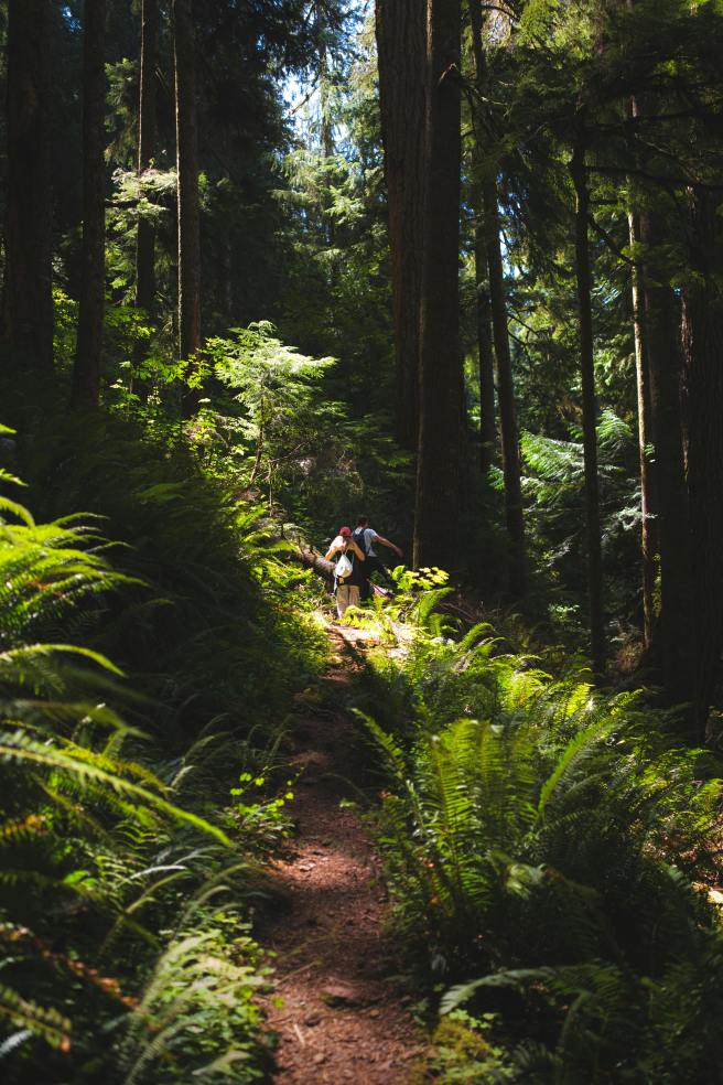
Deep forests were extraordinary.

I had no idea that this was on the second-highest logging road in the state.

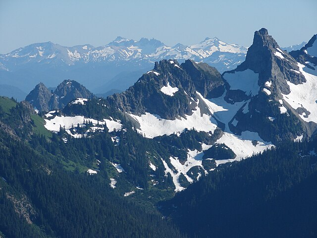
Cowlitz Chimneys (center) with the Goat Rocks (background) from Sunrise point on Mount Rainer, photo by Steve Redman at Wikimedia Commons. 

Rainier route

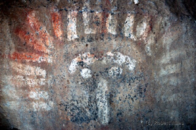
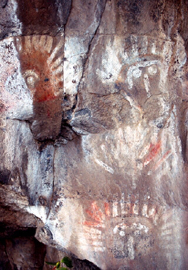
On another trip, on my way to Mount Rainier, saw my first petroglyphs (rock inscriptions) and petrographs (rock paintings) outside of Naches. The paintings looked a little faked — red and white, perhaps with a little blue or red.

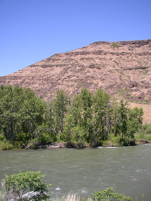
They were found near where the Naches and Tieton rivers veered off westward toward the Cascade Range. Photo by William Borg.


Photographs by Robert Niles via Wikimedia Commons.

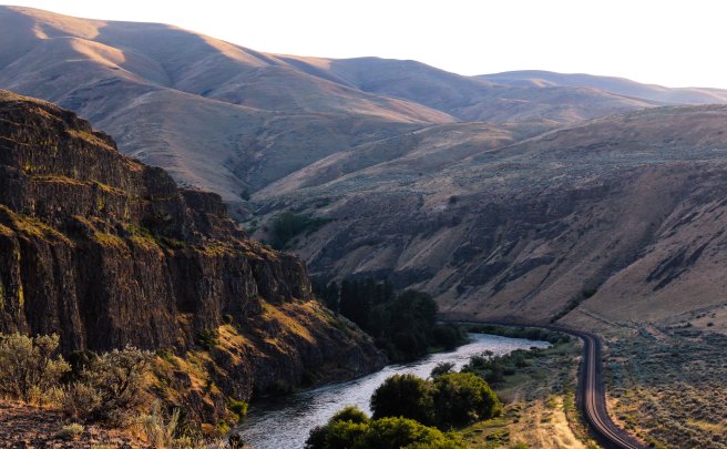
Our routes to Rainier were progressions through ecosystems that became familiar over repeated exposure as we drove from sagebrush desert into ponderosa pines and reservoirs of future irrigation waters on our way to the high country of the Cascade Crest and the rainforests beyond.

Rainier hikes inspired many poems as well as scenes in my novel Nearly Canaan.

Each day trip was intoxicating.

To the south

John Day Dam in Columbia River: fish ladder and 80-foot drop of locks: air in stomach, at man’s mass of cement: aluminum company by the RR tracks.

Steam locomotive at Maryhill State Park, reflecting Sam Hill’s source of wealth: Maryhill Museum of Fine Arts, his castle above the palisades, green lawn dropping off into clouds. The sculpture studies by Rodin the claim to fame. During the trip, pondering Mount Adams vs Rainier …

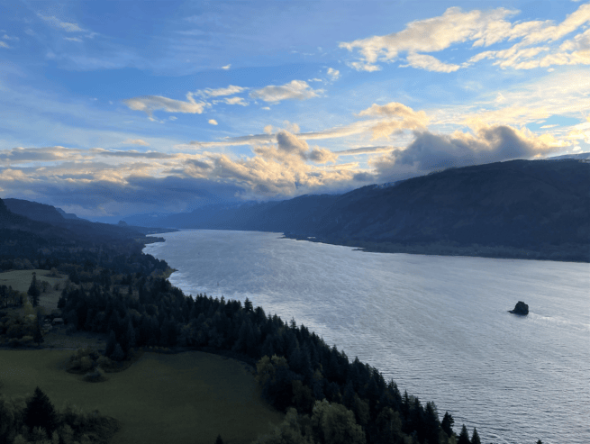
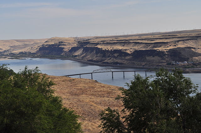
Sam Hill Memorial Bridge and Columbia River, seen from Maryhill Museum of Art, Maryhill, Washington. Oregon at top/right. Photo by Joe Mabel at Wikimedia Commons.

~*~

Along the way

Sweet vinegar smell of hay [up to 5 mowings a year in the interior Far West; the hay was grown in the sunny lands east of the Cascades, and much of it was trucked to dairy farms and other livestock operations on the rainy western side of the mountains].

~*~

From Spiralbound Cascadia with commentary.
 

Not just moose but a murder mystery, too

The joke is that moose don’t have horns, they have antlers. The Moosehorn National Wildlife Refuge excuses itself by noting that it’s named after a brook that meanders through the preserve. Not that it’s the only fine body of water.

Canoeing, kayaking, and fishing are welcome.
The marked lanes make for some lovely strolls.

And the U.S. Fish and Wildlife Service adds that the preserve is home to much more than moose, bear, beaver, and deer. For example, some 223 bird species have been identified in its two divisions – the 31-square-mile Baring Division to our northwest and the 13-square-mile Edmunds Division to our west, both within a half-hour drive from Eastport.

The terrain is varied, much of it wetlands, and a third is protected as wilderness.

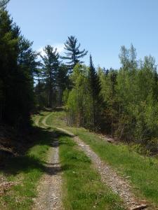
I especially appreciate the miles of hiking trails, some along former roads.

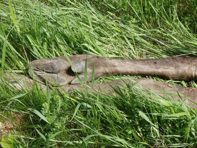
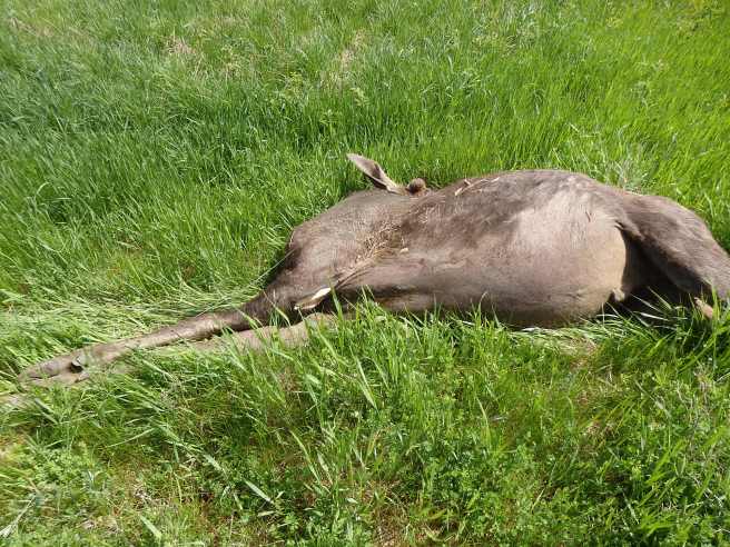
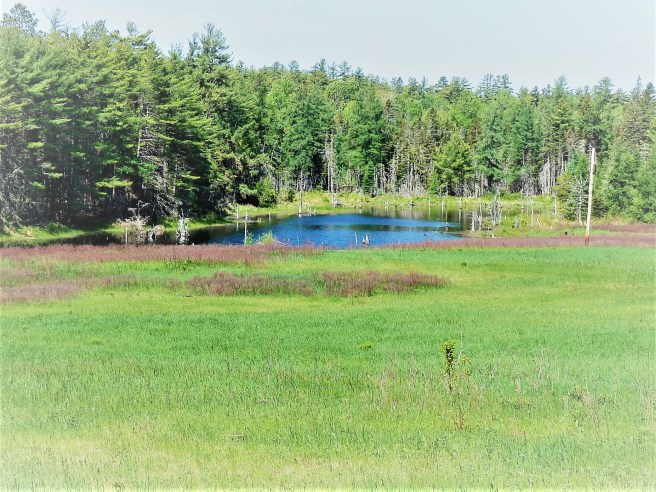
What I wasn’t expecting on one outing was the moose I encountered on a grassy roadside near a flowage.

When I first spotted the tawny hump amid the green, I thought it might have been one bent over grazing, in which case I’d need to approach cautiously, or else just a big rock.

Instead, it became a mystery.
The hooves and legs.
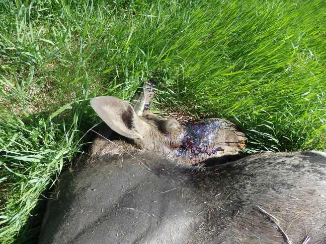
Apart from the head injury, the body was in fine shape – no mat of ticks, for one thing.
It really is a big, powerful jaw.

Tire tracks in the grass had me wondering if a ranger driving down the gated-access lane had tried to veer away from the animal on the roadway, only to have it bolt into the oncoming vehicle.

The carcass was fresh enough that a solitary vulture overhead wasn’t even taking notice.

Later, back in town, I began picking up details. Everybody seemed to have more to add, most of it from Facebook.

Seems the baby male was hit on Charlotte Road earlier in the morning. (Baby? It was bigger than me.) Folks were wondering what took the wildlife officers so long to clear the road. They then took the remains into the preserve, to return to the food chain. Mama Moose, meanwhile, spent the rest of the day wandering forlornly.
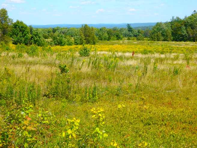
It is a relief to know that moose collisions aren’t so common around here that they’re taken for granted. Deer, on the other hand, as everyone will remind me – keep your eyes open.
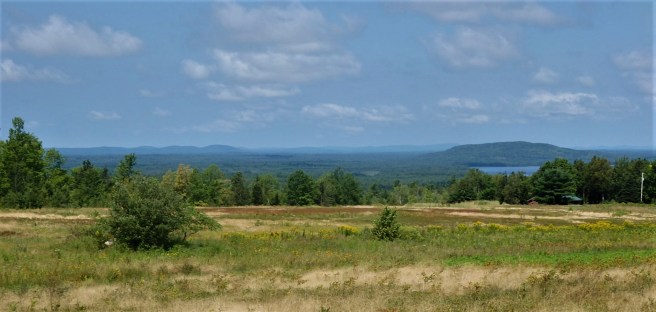
For my entire hike, I was the sole human experiencing sights like this.

What’s the most surprising thing you’ve ever encountered out on a walk? Or even a drive?

Bold Coast is an apt description

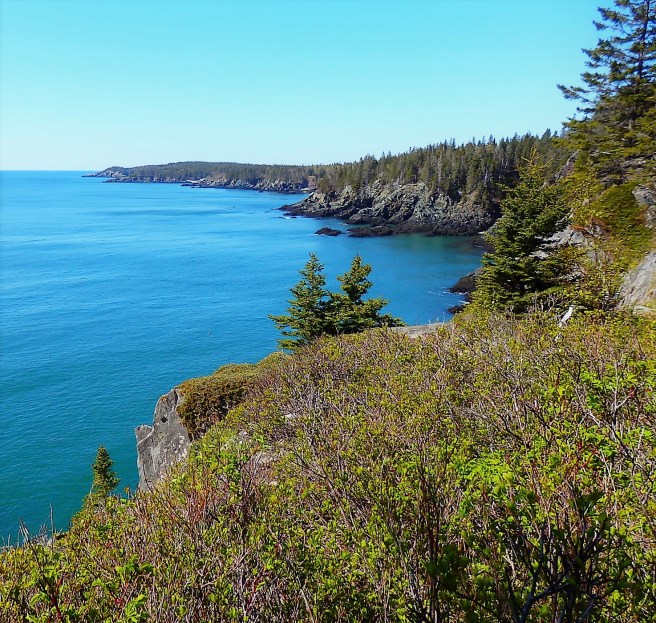
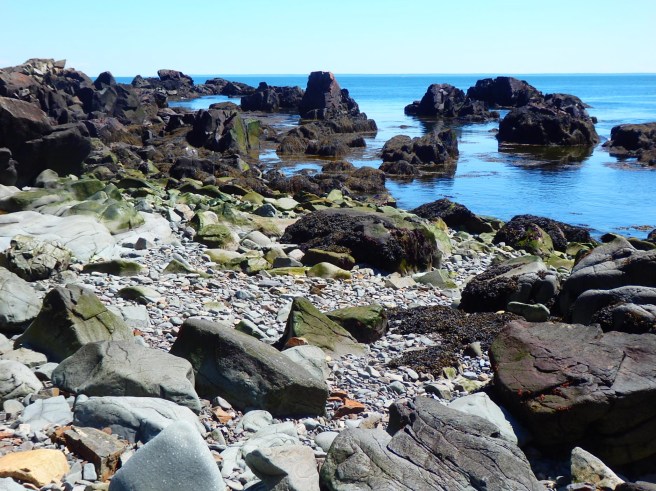
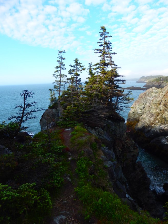
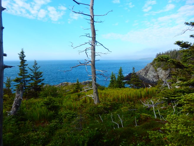
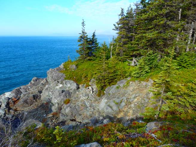
While Eastport and its neighboring towns are technically on Fundy Bay, they’re sheltered from the open ocean. Not so for much of Lubec and Cutler to our south, where the shoreline on the open Atlantic rivals anything Acadia has to offer. It helps to know where the trailheads and parking are, though. Here are some views from the trails in the Maine state public lands in Cutler.

Best of all, there was no crowd. Just me and a young couple who were planning to land one of the five primitive campsites at the far end of the coastal trail. I met only ten other folks in the next five hours, all of them delightful.
So what had been stripping the bark off these trees? My “Scats and Tracks of the Northeast” field guide points to Canada lynx, which leave “chin rubs” like these and live in “dense conifer forests interspersed with rocky ledges and downed timber.”  There are also forest edges nearby where their major prey, snowshoe hare, might be found. 
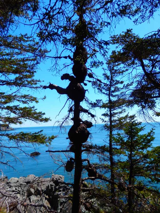
While this trunk seems to be a natural totem pole.
Look out, below!
Except that pretty soon, the trail’s crossing down there.
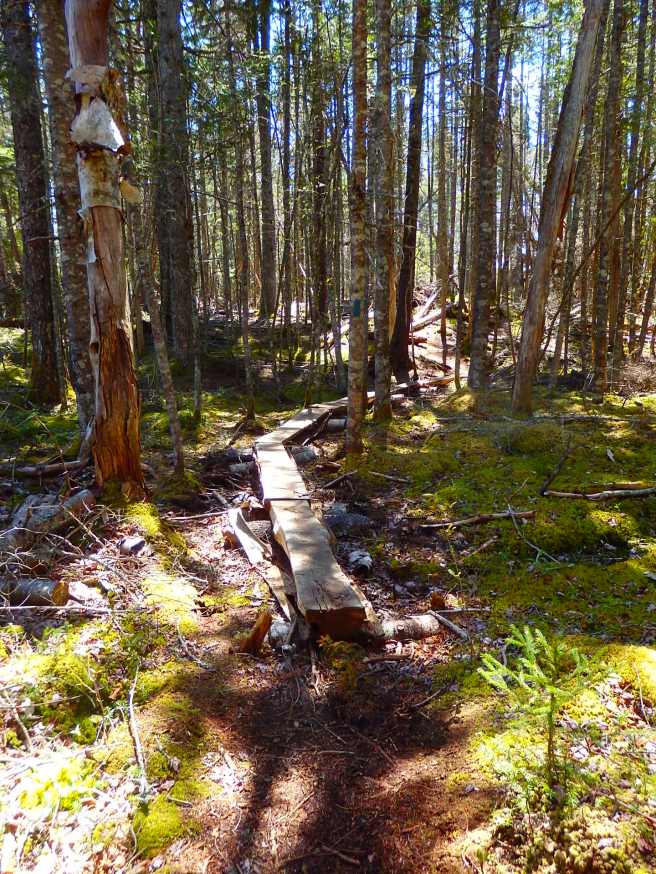
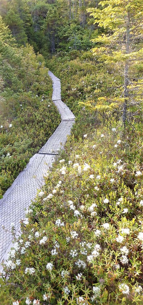
A slightly inland loop back crosses many peat moss bogs, where plank boardwalks are a necessity.

A little more heaven on earth

The day I shot these, I encountered only one other person in two hours … and that was just as I was leaving. Admittedly, I arrived around 7 as a foggy dawn lifted and then listened to a mournful foghorn in the neighboring Bailey’s Mistake cove much of the morning. How could I not be elated?

In 1988, the Maine Coastal Heritage Trust secured the property now known as Boot Head Preserve, saving it from a planned 35-lot subdivision and instead opening it to public enjoyment. It’s a gem that includes coastal hiking, a cove with a cobble beach, and an arctic peat bog.

Promise me you won’t tell anyone else.

Just six-tenths of a mile from the parking lot, the trail opens out on this.


And this.


And passes beside wild iris.


To this.


And this.


And then this.


It really does need a soundtrack of the ocean’s endless crests striking the rocks below.

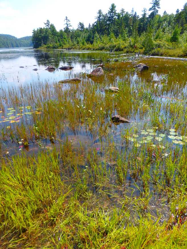
In the coastal raised peatland

Approach with caution. The ground is fragile. Visitors tour on planks, like this trail at Boot Head, or on boardwalks, like those at Quoddy Head.

Within the continental United States, these arctic bogs are found only in Maine, where they’re known locally as heath. These magical openings in the forest host a variety of unusual plants and even rare animals like the crowberry blue butterfly. The forests themselves are often thick with arboreal lichen – Spanish moss – which thrive in the cool temperatures and fog, as well as mossy bog.

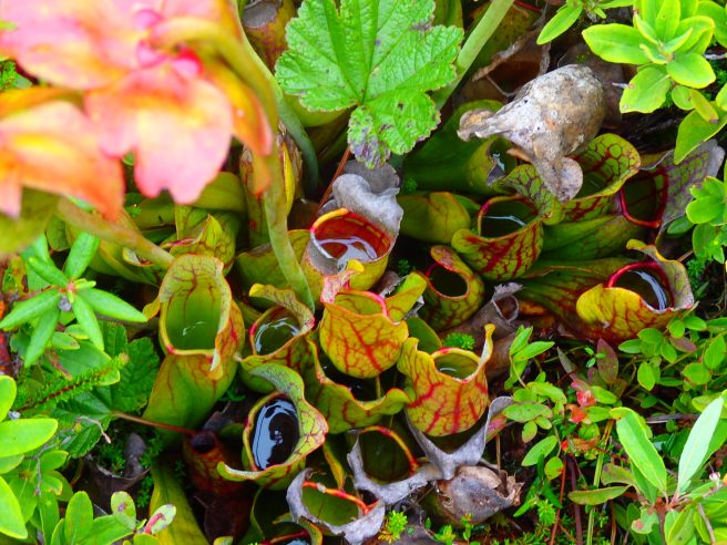
A recent rain shows why these are called pitcher plants. Like Venus flytraps, they’ll devour the stray insect.
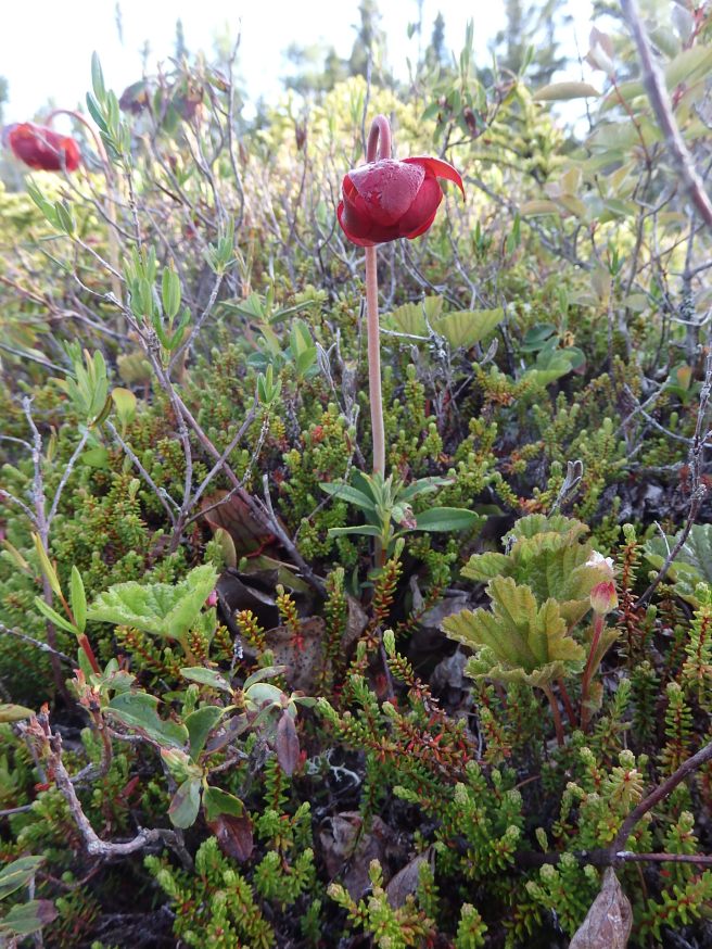
It’s also known as the northern pitcher plant, purple pitcher plant, turtle socks, and side-saddle flower. Here’s how its flower looks.
The terrain also includes sphagnum and sedge lawns.

Terrain can be mountainous without stunning heights

Somehow, much of Downeast Maine feels mountainous, even without the loft. The highest points in Washington County, for instance, are Lead Mountain, at 1,479 feet elevation in Beddington, and Pleasant Mountain, 1,373 feet, in Devereaux Township, mere foothills in some other places I’ve lived. Yet the terrain has steep slopes that still challenge motor traffic, as well crests that offer long views of seemingly unending forest.

In that way, it has a lot in common with the Allegheny range in Pennsylvania or neighboring West Virginia, which touts itself as the Mountain State.

The elevations here can be misleading, since much of the landscape is only 20 or 30 miles from the ocean. The town of Wesley, for example, population 98 or so, occupies a highland reaching only 226 feet above sea level, but that’s also a windswept blueberry barren with far horizons. The drifting snow piling up on State Route 9 there can be treacherous, as I learned the hard way.

View while driving State Route 9 through T30 MD BPP, one of the unincorporated – and uninhabited – townships in Washington County.

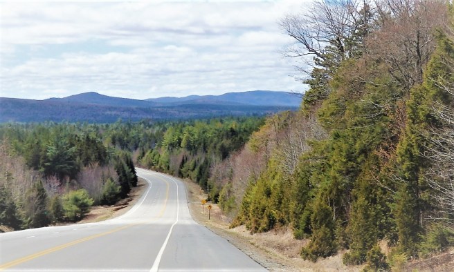
The highway itself sometimes runs along ridges as long as it can before dropping to a streambed below and then climbing to the next crest. I’m struck to see the next landmark cell-phone tower on my route not off in the distance in front of me but rather far to my right or left with a chasm and lake in-between.

The contrast in colors during summer helps. In winter, this would all blend into variations of white.
Approaching Pocomountain and lake in Princeton, as viewed across a blueberry barren.

Much of the land is boulders and exposed bedrock rather than rich loam.

There are reasons, then, those hills are named mountains. Pay heed.

A breath of new heights

Despite growing up in the flat country of the Midwest, I’ve always been attracted to heights. The top of the tree in our backyard was mine alone. I remember taking the speedy express elevator to the top of the Carew Tower in downtown Cincinnati as a child and looking down on the ant-like people on the streets far below. And mountains have always loomed large in my imagination, later abetted by a few early visits to the Appalachians in Kentucky, Tennessee, and North Carolina. I even backpacked a week on the Appalachian Trail at age 12 as a Boy Scout with my primitive-camping troop.

By the time I returned to Indiana in the mid-’70s, I had also lived in the Allegheny foothills to the west of the Catskills in New York state as well as the Poconos in eastern Pennsylvania. I’d even ventured into New Hampshire to climb Mount Washington, the highest point in the Northeast. I thought I had a familiarity with mountains.

The paperback cover …

My next upheaval sent me west. The drive across the Great Plains and Rockies was a revelation, and the entry into the environs of my new employment came frankly as a shock. Neither my wife nor I was prepared for the arid, open desert where nearly everything, including its famed apple orchards, required irrigation. Forefront in my mind was Swami Lakshmy’s observation from her first visit to India, that every place she visited had its own unique vibration.

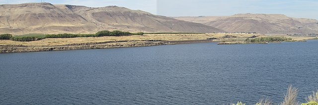
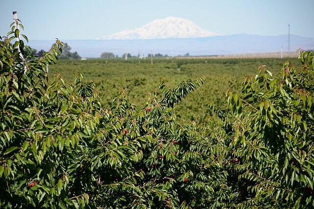
And yes, there were mountains, including the barren heights defining our valley as well as the eastern flank of the Cascade Range to our west and glacier-clad Mount Adams looking down on us from 50 miles away.

As I adjusted to the realities, everything was filled with wonder I came to love, as you will see in my novel Nearly Canaan, which started out being more about the distinct landscape than about fully considered characters.

My employment situation, meanwhile, provided its own fodder for what would emerge as Hometown News back in the Rust Belt. I never wanted to leave Pacific Northwest, for sure, but a new publisher at the newspaper made the situation intolerable. As I bailed out, along with the most of the rest of the management team, I entered a difficult period that added much to the newspaper tale, plus a divorce and broken engagement.

It’s always hard to come down from a mountain. A part yearns to hang there forever.