Rainier, to Paradise ice caves, 29 aug 77 …
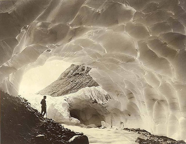
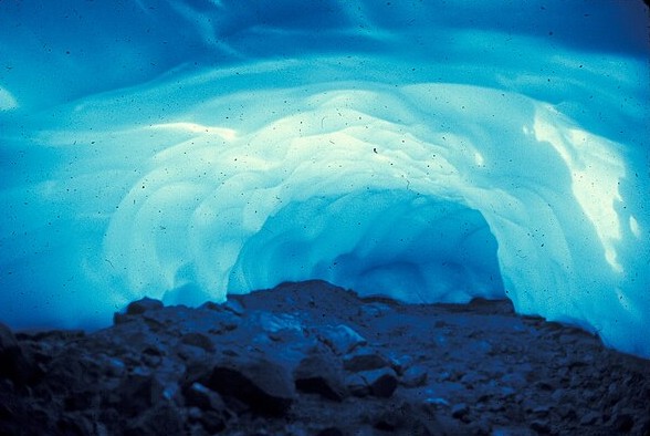
The caves much smaller than any photos I’d seen suggested, 4 to 5 feet tall, perhaps 10 feet across … first time they’ve opened since ’70 … red sign on approach: ENTRY IS NOT RECOMMENDED … DANGER OF COLLAPSING ICE.
Yet so many footprints and a broken Fresca bottle on the rocks.
A stream disgorging … so much dripping water … yet silent, except for that … blue-green color within white nearly glowing ice,
~*~
DANGER
DANCER
Fresh snow on Adams, obvious 60 miles away …
~*~
Farmlands where neither barn nor house can be seen in any direction.
FOR SALE
4,574 ACRES
PRIME LAND
BOTH SIDES OF ROAD
~*~
Driftwood clouds over desert.
endless vistas.
Or as ups and downs, joys and sorrows
Enough for one life
~*~
~*~
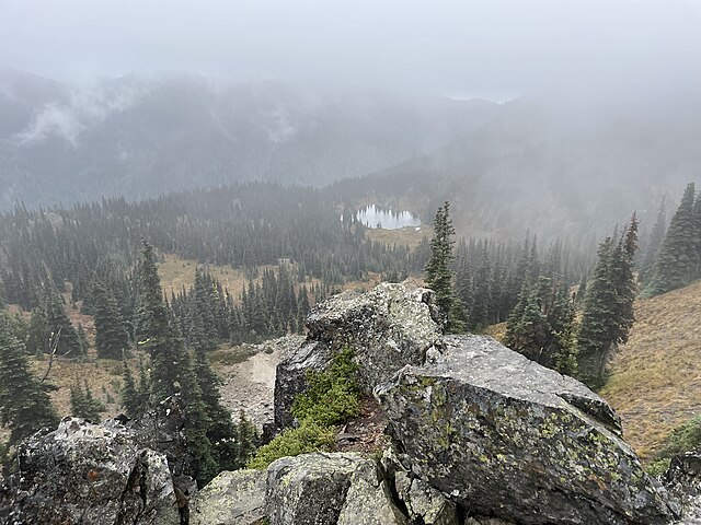
Louie [a renowned Swiss-born mountaineer in our Meeting] prefers the east side of the Cascades, wants to hike Bismarck this week: 18 miles, 4,000 feet up, leave Yakima at 4 a.m. to “assure a good start” — a “good day’s work.”
~*~
24:X
One man in the county road crew working in the Canyon kept checking on his fishing pole propped up beside the orange work truck parked beside the river.
~*~
26:X
The green light around the moon
“When Boise Cascade and other logging companies claim they need all the public forest lands to maintain their present employment, they forget to tell you about the automation they plan to employ — eliminating 90 percent of those jobs anyway. BC’s Small Log mill in Yakima is a good illustration of that hypocrisy.”
The sawmill was sold in 2004 and shut down in 2005, with the plywood operation closing the next year.
The lack of “affordable” timber was cited.
~*~
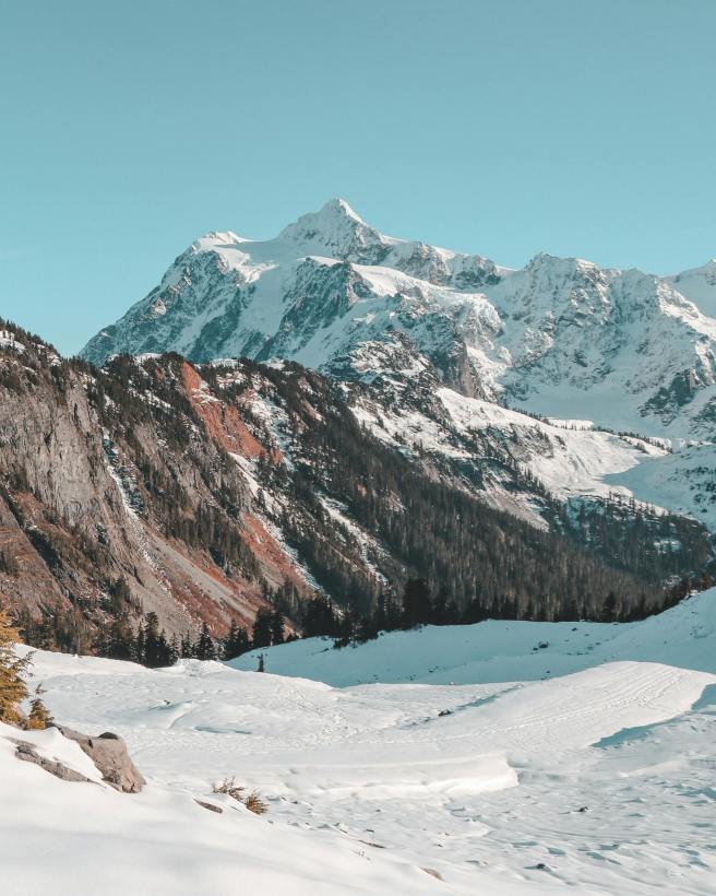
I remember being mesmerized one chilly late-afternoon in October as I watched spider-web filaments floating around the summit of Mount Stuart. From what I’ve read, they must have cosmic rays back-lit by the sinking sun. The mountain stands much taller than the photo suggests.
~*~
15:X, sometime day after my Mount Stuart hike …
Chinook Pass closed today = temporary = perhaps all winter
Washington Pass, the same
~*~
“Going down the Columbia, the reason the Cascade mountains being so named becomes apparent on the steep sides of that tremendous chasm through which the gathered waters seek the ocean … numerous and beautiful little falls which pour from every crevice, every height, and frequently from the very mountain top.” — John Lambert, topographer with the Pacific Railroad Exploration in 1853
His time was optimal for rain or melting …
~*~
77% of the glaciers in the contiguous U.S. are in Washington state
Neoglaciation, about 5,000 years ago and also in the 19th century
~*~
24:XI, Thanksgiving Day … our first (and only) attempt on snowshoes (bear paws) …
Snowballs bouncing downslope
~*~
4:XII
Two dozen elk near I-90: could see their breath, cold puffs, snorting
Snowpack washed away by rain, muddy anger, mudslides on the roadways, I-90 closed most of Friday, fat cascades everywhere
~*~
18:XII / To the mountains today:
- Highway closed at Sawmill Campground (Sawmill Flats, Sawmill Creek)
- River rushing, speeding downstream
- Tamarack fire odor in the air: somebody’s home
- We parked, climbed a steep snowy hillside, and slid down (glissand) on our butts in ponchos .. great fun
- On the drive home, stopped twice to watch elk herds high up on snowy ridges at Oak Creek preservation (across the river) — 47 in one herd, perhaps another 60 in the second
- Evidence of flooding
- Erosion beside the road
- Rocks on the pavement
- A steel bridge to vacation homes washed out and left sitting downstream
- Another “Bridge for Sale,” the pilings beneath it askew
- A third bridge once marked “No Hunting or Trespassing, Do Not Ask,” swept away altogether
The name Mount Stuart was originally applied to Glacier Peak (by General McCellan of Civil War fame) but a cartographer made a mistake, putting the name on the wrong peak, where it’s stuck
~*~
From Spiralbound Cascadia with commentary.


