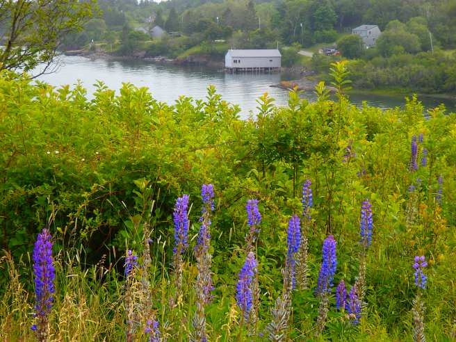
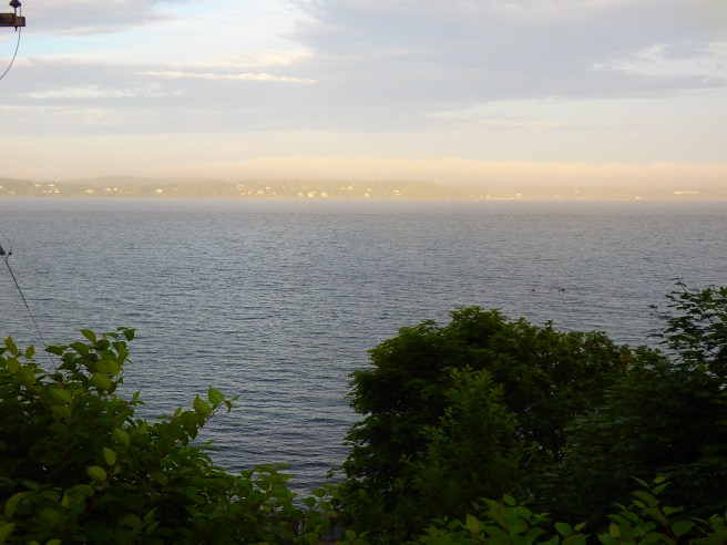
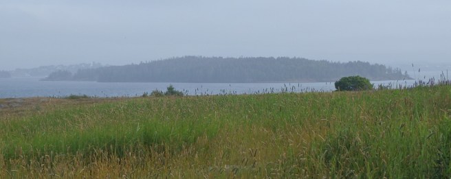
The inlet gets its name from an early family rather than royalty, even if the British Navy did land here when it captured Eastport during the War of 1812.
You never know what we'll churn up in cleaning a stall
The inlet gets its name from an early family rather than royalty, even if the British Navy did land here when it captured Eastport during the War of 1812.
Running out of baby’s first names for hurricanes and tropical storms has me wondering.
Can we turn to corporate behemoths, you know, for naming rights, like sports stadiums do?
Hurricane Amazon would be a natural. Or Geico, reminding folks of the need of home insurance. Victoria’ Secret Hurricane could be hot. You get the drift.
And let’s think about all the good uses we could put the money to, starting with relief for impoverished folks in those storms’ paths.
So how ’bout it?
What corporations would you nominate as the most amusing or fitting for the storms?
~*~
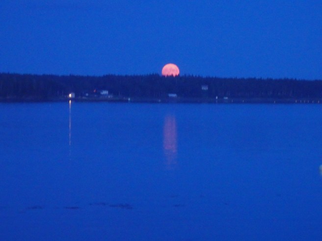
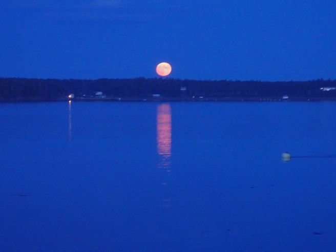
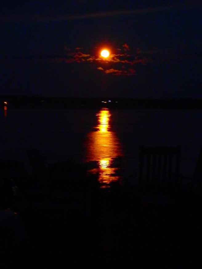
Refined Japanese, I’m told, would gather with sake to watch the full moon rise. First there’s only the crown of the head, and then the brow and cheeks and chin before the moon lifts altogether in the air. The passage is both slow and fleet, maybe five minutes, if that.
The event would be celebrated with the writing of hokku on the spot.
Here’s how it happened one summer night in Eastport, looking over Campobello Island. And this is what you get rather than a cocktail or poem.
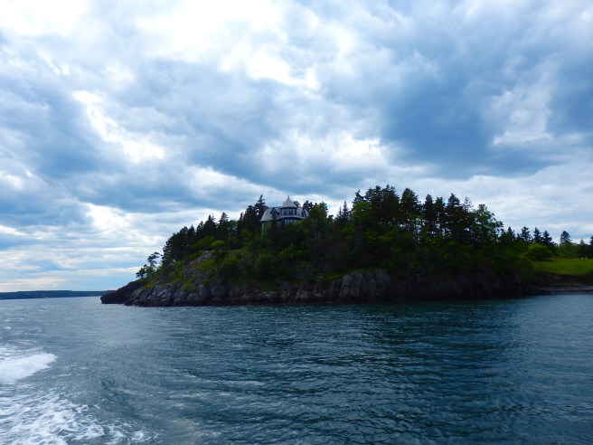
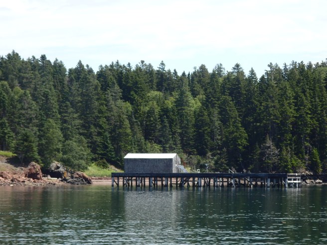
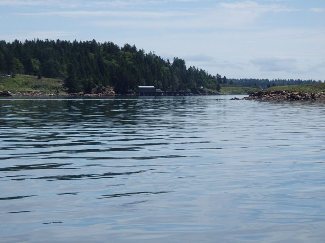
Named for Upham Stowers Treat, the island once housed a fishing hamlet and then a Civil War battery. Today, as one of the Maine Coastal Heritage Trust preserves, it’s open to the public and has a 1.2-mile network of trails offering stunning views of the surrounding bays.
Kayakers are advised to get a guide who knows the waters’ treacherous currents.
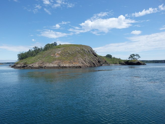
Some early wag exploring the channel that separates Eastport and Campobello Island thought a rock formation visible only at low tide resembled an old monk and dubbed it the Old Friar.

The headland behind it soon became known as Friar’s Head.
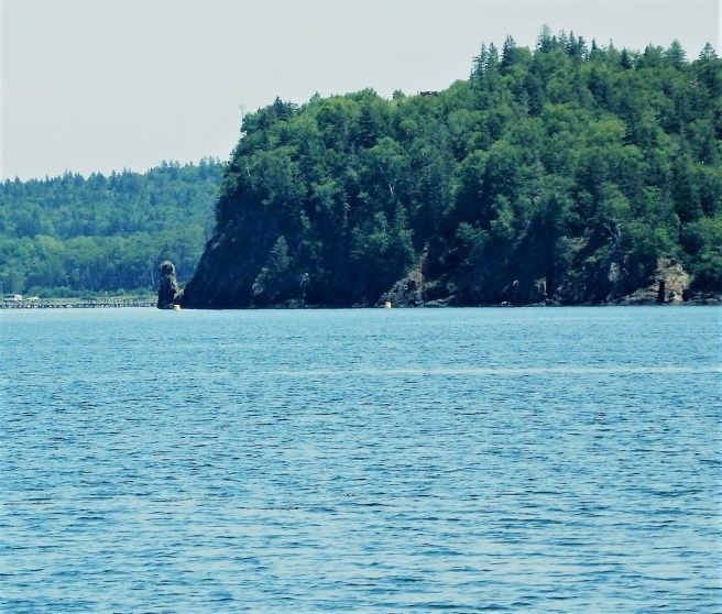
As for the channel? It’s Friar’s Roads, curving along the island to its end on the Bay of Fundy.
The Old Friar himself may have lost some features during the Civil War when cannoneers stationed on Treat Island used the monolith for target practice. Canada, apparently, never complained, sparing the U.S. an international incident.
The Passamaquoddy, meanwhile, referred to the pillar as the Stone Maiden. The legend told of a young brave who left on a long journey after instructing his lover to sit and await his return. The distraught young maiden sat on the beach and waited for months. Alas, when he finally returned, he found her turned to stone, forever to wait and watch.
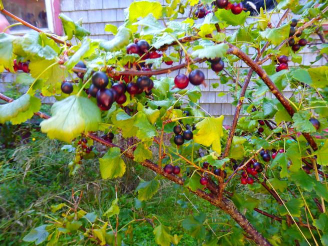
The currants we’re harvesting in Eastport are a different variety than we obtained from the conservation district’s plant sale back in Dover. They’re bigger and juicier, for one thing. And the bushes aren’t as thorny or sprawling, for another.
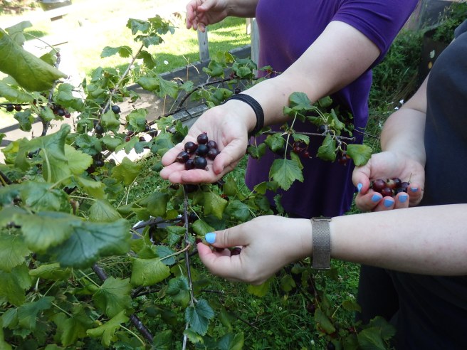
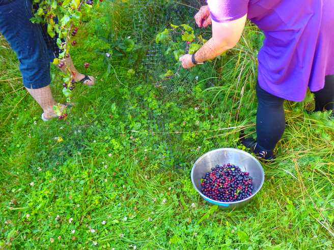
We got 4½ pounds from a single bush. Most of it will go into jelly.
Funded by a family trust, Cobscook Shores is preserving waterfront lands around Cobscook Bay and its subsidiaries for public use and pleasure. One of its 14 sites is Pike Lands Cove, facing Eastport’s west side across the water from the North Lubec peninsula.


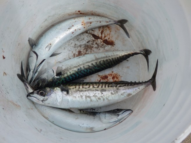
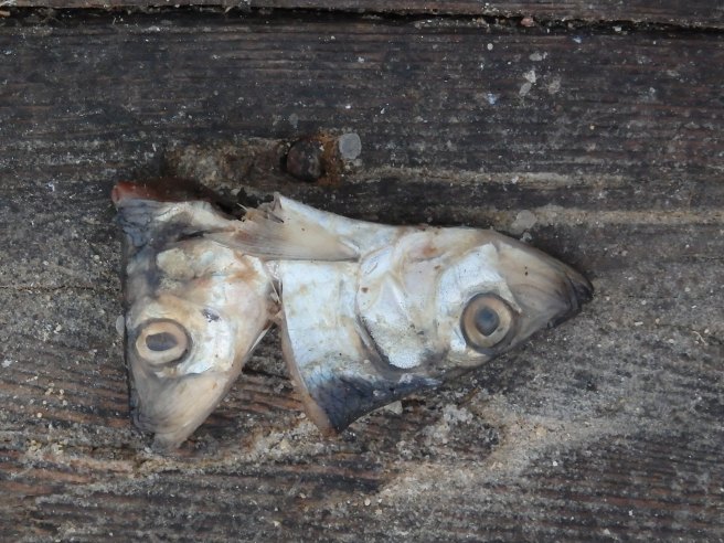
The humble mackerel – usually less than a pound apiece – is a popular fish caught around here. Its delicate nature means it doesn’t keep long, so for human consumption, it’s typically smoked for preservation. An oily fish, it tastes somewhat like salmon. More commonly, it’s used as bait in lobster traps.
The Maine coast is 3,478 miles, not including islands. They raise the figure to 7,000 miles.
I live on an island.
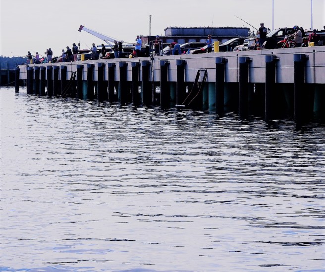
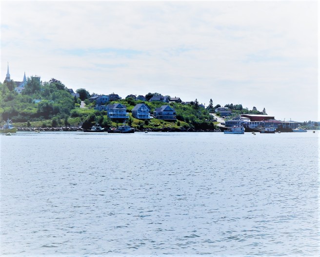
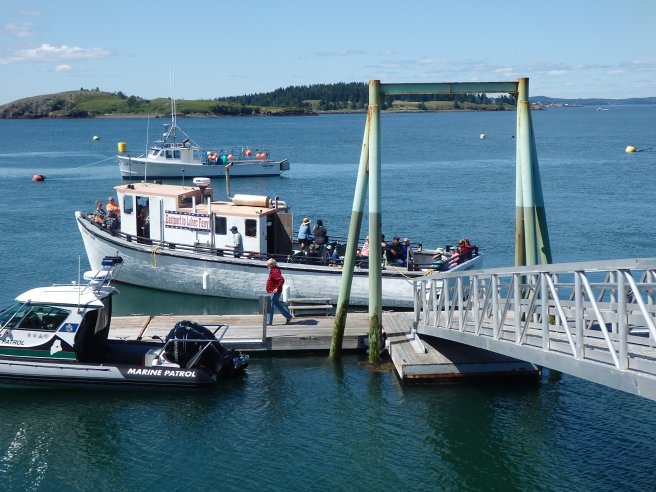
Just two miles away, as the crow flies, but an hour by land is the waterfront town of Lubec. One of the best ways for tourists to appreciate the coastal nature of Downeast is by taking the passenger ferry that runs between there and downtown Eastport. I promise you it’s much less crowded than Acadia.
We go down for a walkabout the town, a New Jersey-style pizza, and a sit in the brewpub’s beer garden. One day I watched seven gray seals cavort in the current. And then we catch a ride back, which runs along the other side of the channel from the one we followed down.
Folks from Lubec do something similar, including a stroll though Eastport’s art galleries.
Either way, you get fine insights the shoreline, history, and wildlife in a way you’d never get from land. There’s the Cargo Terminal, salmon farms, Roosevelt summer home, Treat Island. Maybe seals and eagles, too.
The ferry runs every two hours on Friday, Saturday, and Sunday, weather permitting.

Roque Beach State Park, a few miles south of Machias, is one of the rare sandy beaches in an otherwise rocky shoreline.
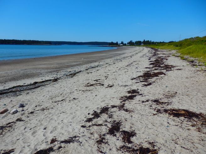
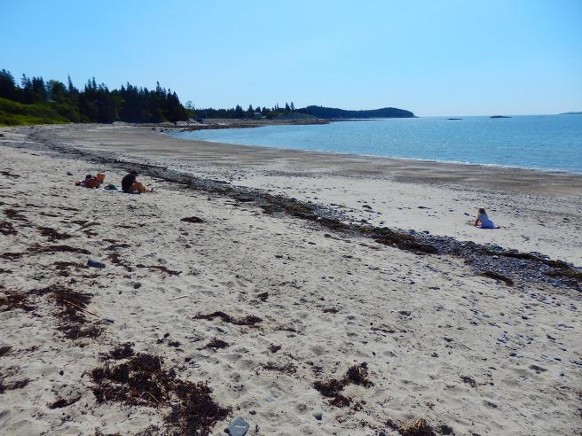
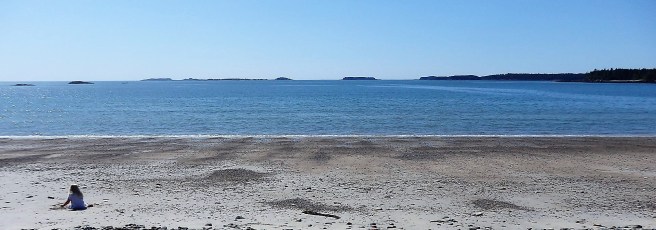
The water is too cold for swimming, for most of us, though some sports will take a dunk.
