It’s official. We’re selling our home of the past 21 years, including the red barn and my asparagus and fern beds.
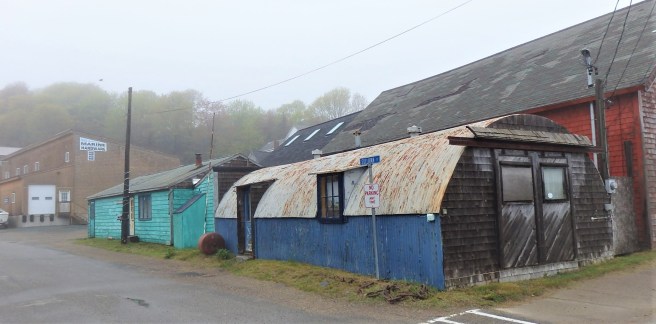
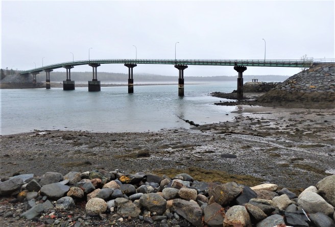
It all happened much faster than I had anticipated. In truth, I didn’t expect our dream of relocating to a remote fishing village at the other end of Maine to go into action for another two years. Even when we made our pitch for the house we landed, I didn’t allow myself to get my hopes up – they’d been dashed too many times the previous time we were looking before we anchored in Dover.
But here we are, with any luck beating the crowd on that rising housing market. The trend of moving out from the big-city suburbs into smaller, more viable, pedestrian-friendly towns hasn’t yet reached fever levels in Sunrise County. It is, after all, an eight-hour drive from Boston.
And no, I’m not changing the name of this blog – the barn will live on in my memory and as a metaphor. Guess we’ll just have to get a garden shed, paint it red, and call it our new barn.
~*~
Still, the uprooting and transplanting have stirred up a lot within me.
I’m recalling one neighbor’s comment back in Manchester. “I don’t think anybody can afford to live in New Hampshire for under,” and he named a figure that would have gone up a lot under the inflation in the years since. At the time, I looked at him and replied, “But I do.”
He was shocked and maybe a tad embarrassed.
I still don’t know how most people are affording the prices of homes in much of New England or other hot spots, but they’re also being pressed by outrageous rental costs.
~*~
Reflecting on previous moves, I admit most of them were daring leaps to new jobs and dots on the map where I knew no one. This doesn’t feel so draconian. I’ve visited, after all, and have acquaintances, mostly through Quaker circles.
So now I flip between memories of places I was fond of and of others, well, there were some mean towns and economic struggles. Satellite photos reveal that a handful of the units I occupied have been demolished in the intervening years. Let’s just say that luxury rentals were beyond my means, but a few others had their funky charms or at least memories.
The Dover property was only the second I’d owned. The other was a marvelous 1920s bungalow in a Rust Belt town. (See my novel Hometown News for that one.) When that house was emptied, I sat down and wept in the aftermath of a divorce and the confusing developments with my fiancée.
This time, I’ve found myself anxious to move on. Both of us are finally admitting the shortfalls of our home of the past two decades – not just the short treads on the staircase but also the arrangement of the rooms and the fact it just wasn’t designed for our needs. We adapted to the space, and now that there were just two of us, the faults became inescapable.
On top of that, I keep seeing more repairs that are needed – some of them big ones the second time around. I’ve run out of energy. The responsibility – and expense – are simply too much.
But I’m also remembering guests who’ve stayed with us as well as our dinners and parties, not that we ever had as many as we would have liked.
~*~
One thing I have to acknowledge is the emotional weight of things I feel a responsibility for maintaining. As I shed more of them, I’m feel freer and more capable of opening to new experiences. The flip side is the question of just how much and what I might need to sustain that.
So here we go.