The inlet gets its name from an early family rather than royalty, even if the British Navy did land here when it captured Eastport during the War of 1812.

You never know what we'll churn up in cleaning a stall
The inlet gets its name from an early family rather than royalty, even if the British Navy did land here when it captured Eastport during the War of 1812.


Running out of baby’s first names for hurricanes and tropical storms has me wondering.
Can we turn to corporate behemoths, you know, for naming rights, like sports stadiums do?
Hurricane Amazon would be a natural. Or Geico, reminding folks of the need of home insurance. Victoria’ Secret Hurricane could be hot. You get the drift.
And let’s think about all the good uses we could put the money to, starting with relief for impoverished folks in those storms’ paths.
So how ’bout it?
What corporations would you nominate as the most amusing or fitting for the storms?
~*~
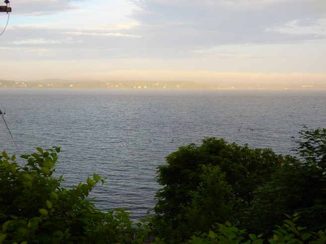
Refined Japanese, I’m told, would gather with sake to watch the full moon rise. First there’s only the crown of the head, and then the brow and cheeks and chin before the moon lifts altogether in the air. The passage is both slow and fleet, maybe five minutes, if that.
The event would be celebrated with the writing of hokku on the spot.
Here’s how it happened one summer night in Eastport, looking over Campobello Island. And this is what you get rather than a cocktail or poem.


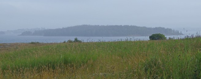
While Eastport and its neighboring towns are technically on Fundy Bay, they’re sheltered from the open ocean. Not so for much of Lubec and Cutler to our south, where the shoreline on the open Atlantic rivals anything Acadia has to offer. It helps to know where the trailheads and parking are, though. Here are some views from the trails in the Maine state public lands in Cutler.


Named for Upham Stowers Treat, the island once housed a fishing hamlet and then a Civil War battery. Today, as one of the Maine Coastal Heritage Trust preserves, it’s open to the public and has a 1.2-mile network of trails offering stunning views of the surrounding bays.
Kayakers are advised to get a guide who knows the waters’ treacherous currents.
Some early wag exploring the channel that separates Eastport and Campobello Island thought a rock formation visible only at low tide resembled an old monk and dubbed it the Old Friar.

The headland behind it soon became known as Friar’s Head.
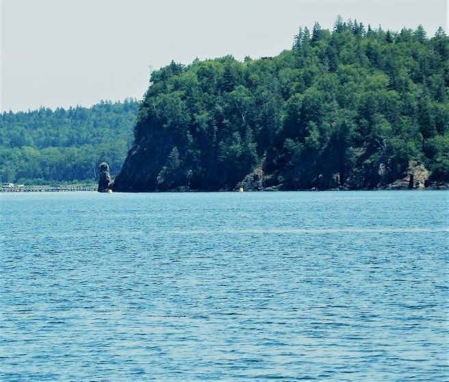
As for the channel? It’s Friar’s Roads, curving along the island to its end on the Bay of Fundy.
The Old Friar himself may have lost some features during the Civil War when cannoneers stationed on Treat Island used the monolith for target practice. Canada, apparently, never complained, sparing the U.S. an international incident.
The Passamaquoddy, meanwhile, referred to the pillar as the Stone Maiden. The legend told of a young brave who left on a long journey after instructing his lover to sit and await his return. The distraught young maiden sat on the beach and waited for months. Alas, when he finally returned, he found her turned to stone, forever to wait and watch.
Listen to me, like I’m an expert.
Still, the Old Sow can be seen about a mile away from Eastport if you time it right, about three hours before high tide on the biggest days of the month. The Western Hemisphere’s biggest whirlpool not only swirls but also shoots spouts into the air. As if I could capture that flash with my camera.
The current, though, often runs at seven knots, faster than an Olympic champion swimmer could manage in even a very short burst. It’s also treacherous for Scuba divers, waders, and sailors alike.
It’s by no means the only place to be mesmerized while watching the charge.

Another impressive sight is the Reversing Falls in Pembroke, though “rapids” would be a more accurate term. The sounds of the waters rushing from one bay to another are as mesmerizing as any waterfall, though.


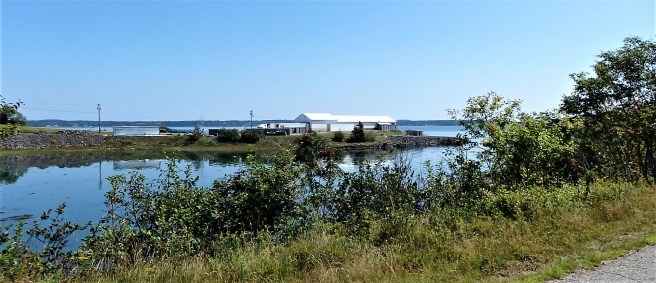
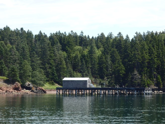
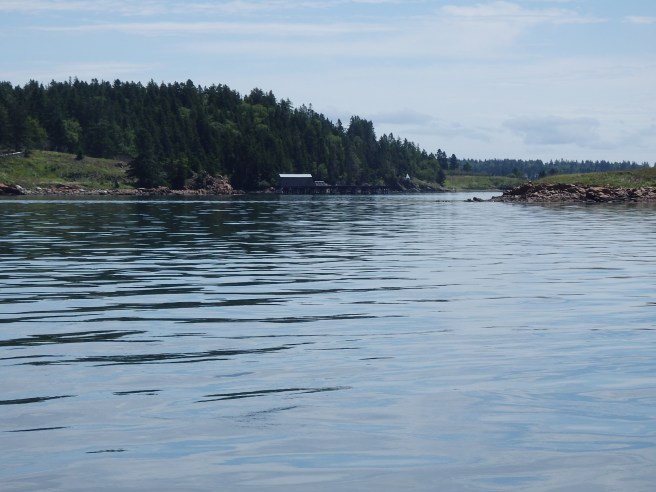
I was driving down this little dead-end road and this popped up dead ahead. Not that I was expecting a shipyard.


