ANNIVERSARY OF MY DARKEST DAY

Aerial view of the desert ridge behind our the tenant shack where we where living when Mount St. Helens erupted. This is as green as it gets. The orchards are in the irrigated band close to the river.
Aerial view of the desert ridge behind our the tenant shack where we were living when Mount St. Helens erupted. This is as green as it gets. The orchards are in the  band close to the two irrigation canals seen here. With a magnifying glass, I could point out our place.

Thirty-five years ago today, we were buried in volcanic ash erupting from a summit 85 miles away. For days afterward, everything was buried in gray. Until then, it had been my Garden of Eden.

QUAKER STREET

Note the yellow sign, "Pavement ends." It really does feel like a slower place.
Note the yellow sign, “Pavement ends.” It really does feel like a slower place.

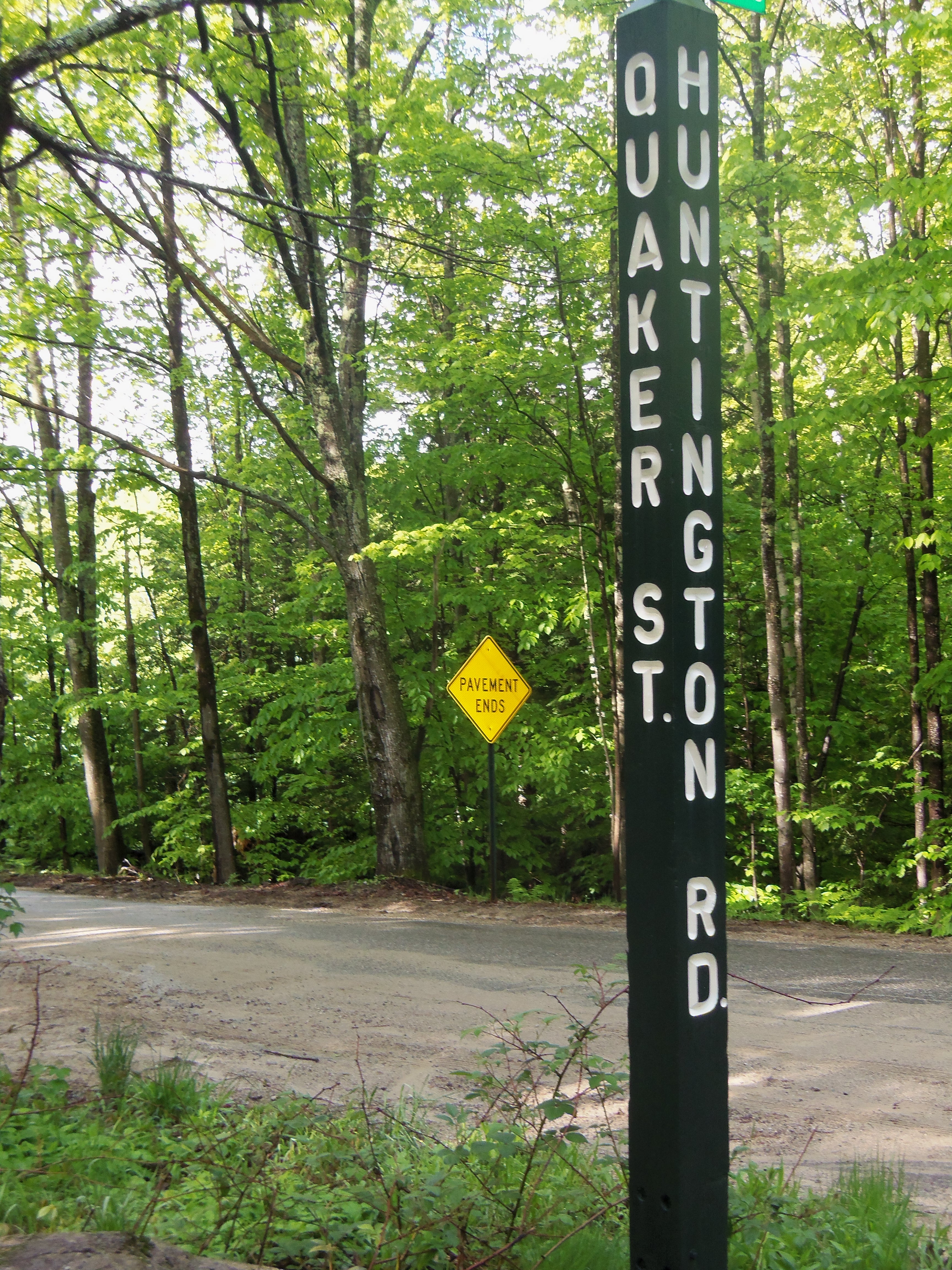
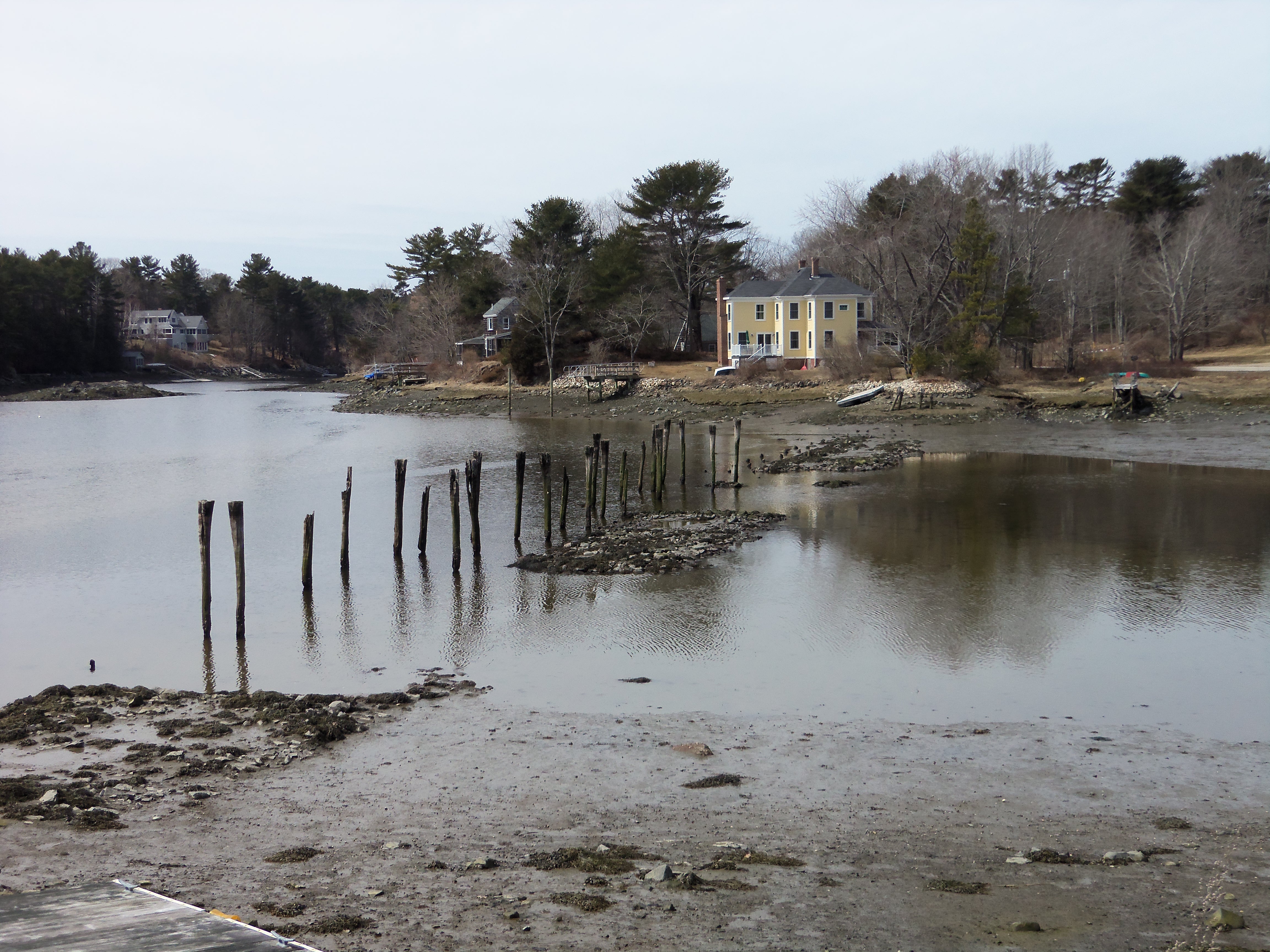
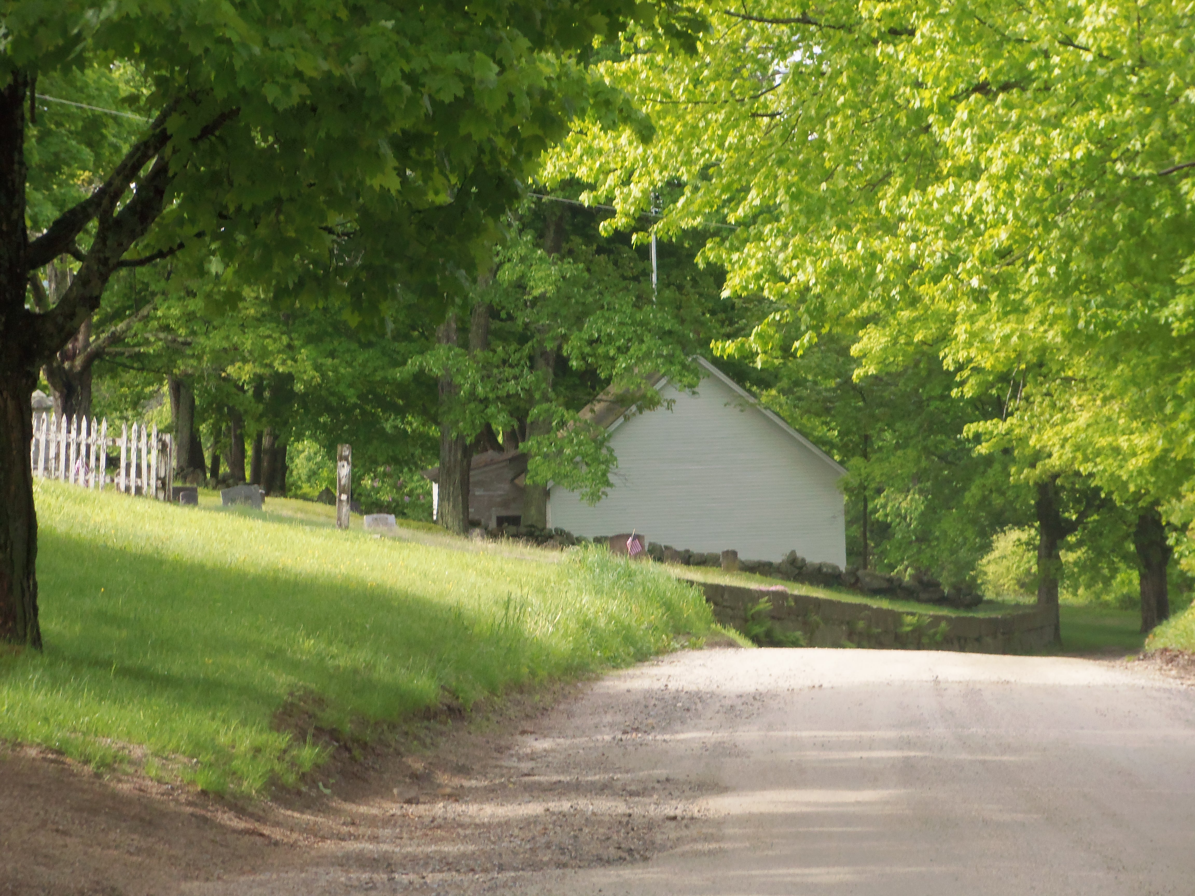
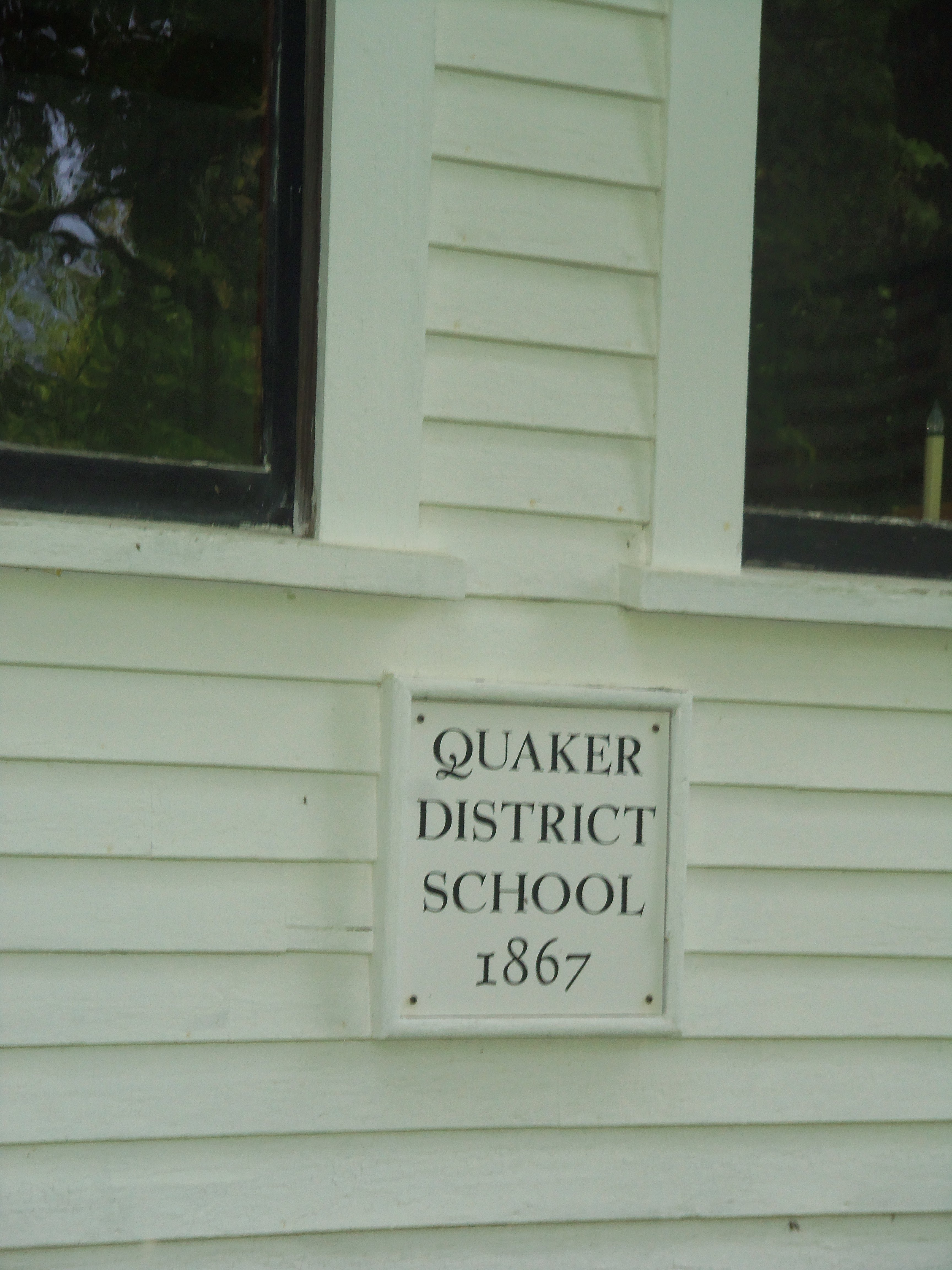
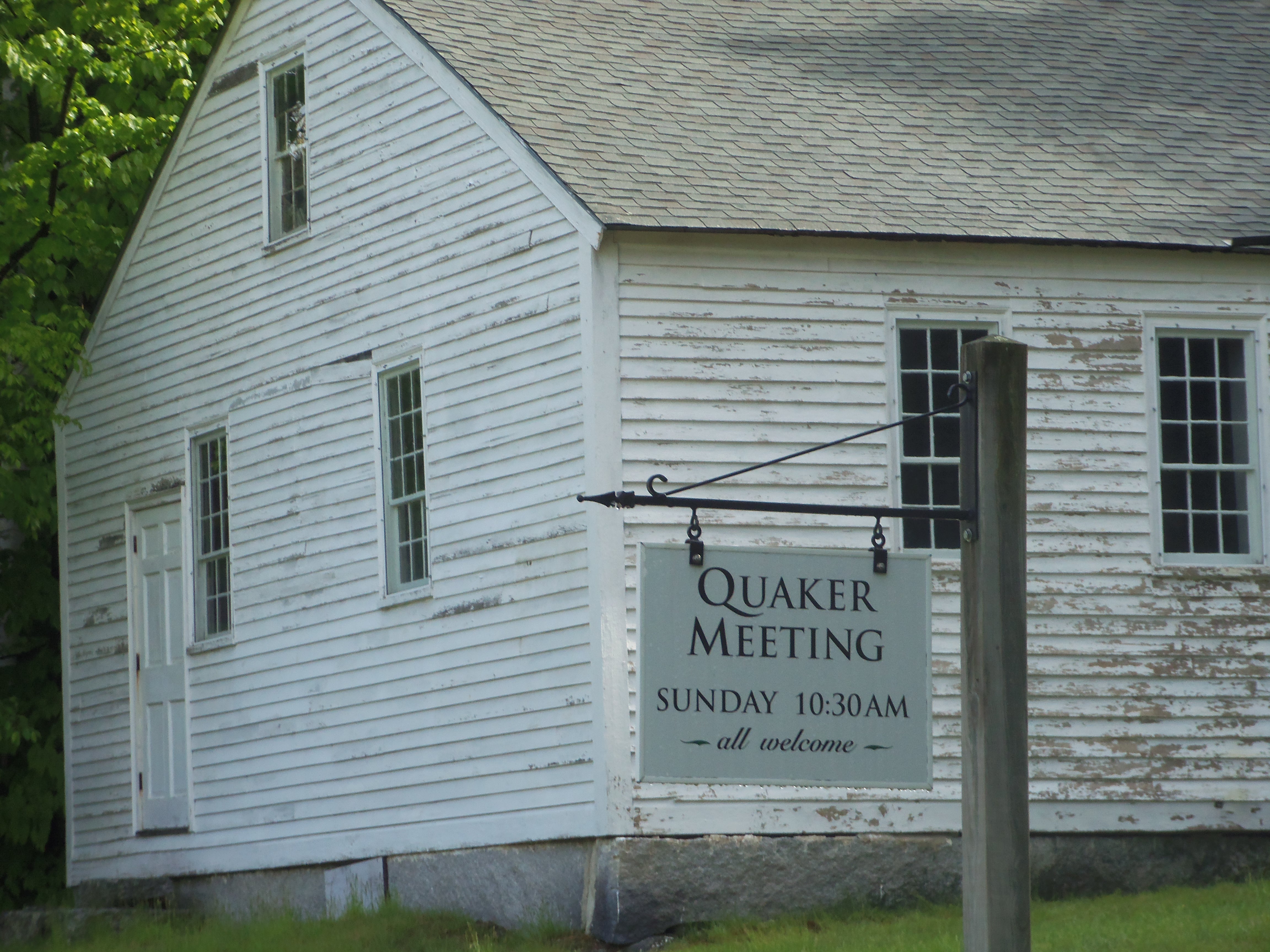
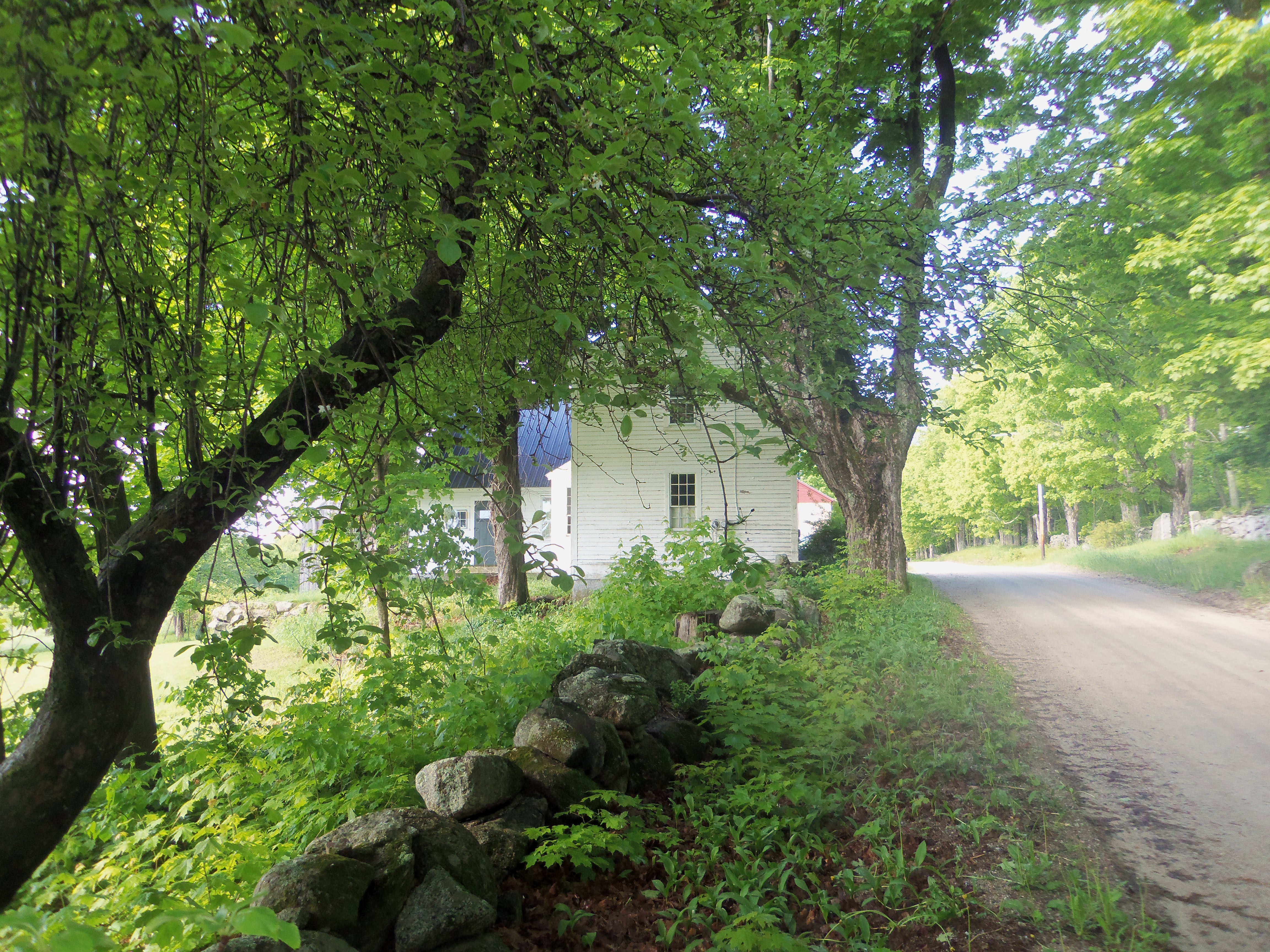
Taking its name from an old use of “street” as “neighborhood,” the stretch is also known now as the Quaker District. It’s up in the hills in a remote corner of Henniker, New Hampshire.

The road approaches the old schoolhouse.
The road passes a small Quaker burial ground next to the old schoolhouse.
As the sign on the schoolhouse says ...
As the sign on the schoolhouse says …
The center of the village was the Friends meetinghouse, which is still in use.
Many headstones in the burial ground use the old Plain dates.
Many headstones in the burial ground use the old Plain dates. The “3rd mo” is Third Month, or March.
Around the corner.
Around the corner.


CORMORANTS ON THE RIVER

A cormorant cruises along the top of the Cocheco Falls dam in downtown Dover, New Hampshire.
Another watches for migrating fish.
Upstream, another watches for migrating fish.

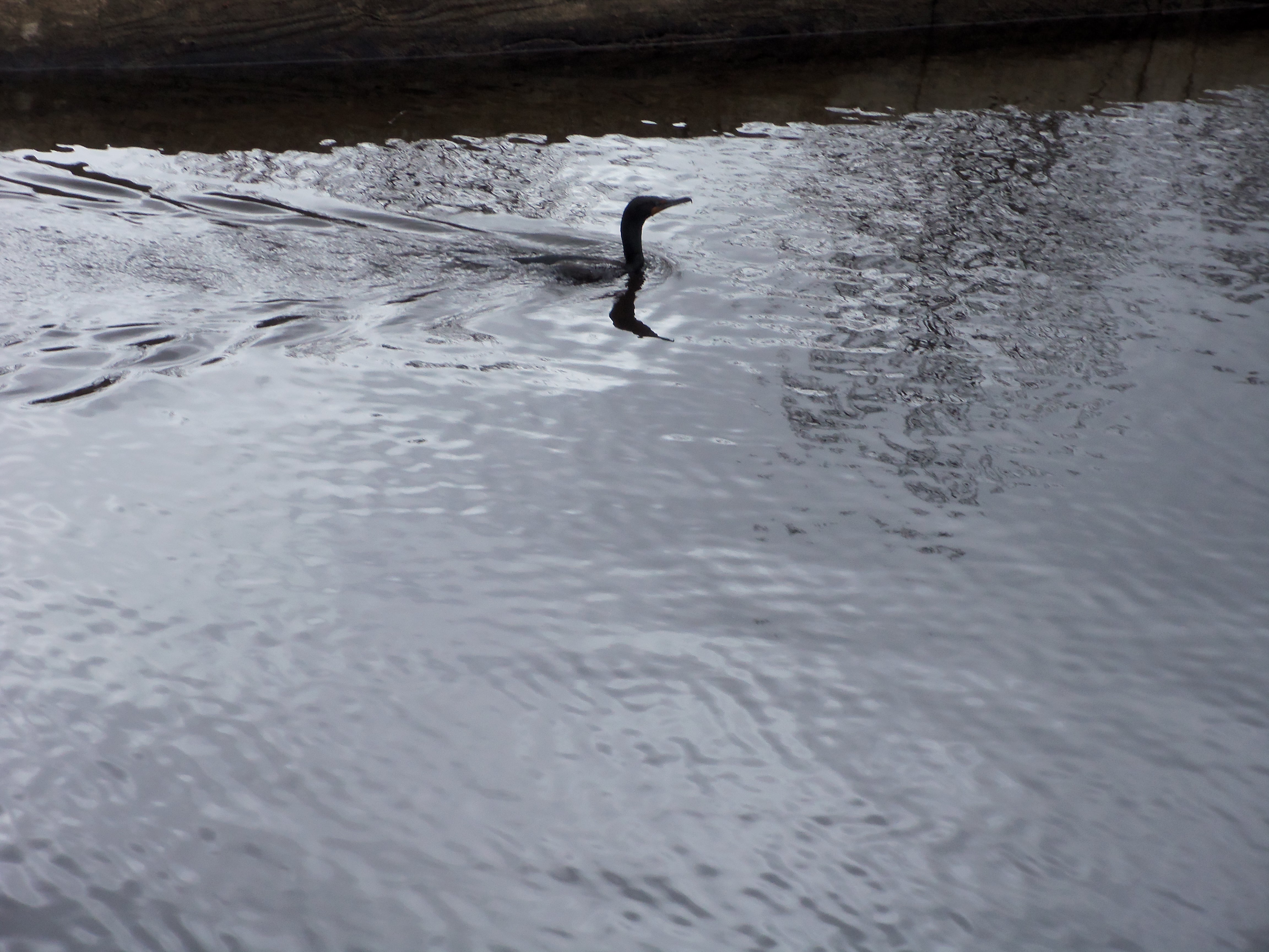
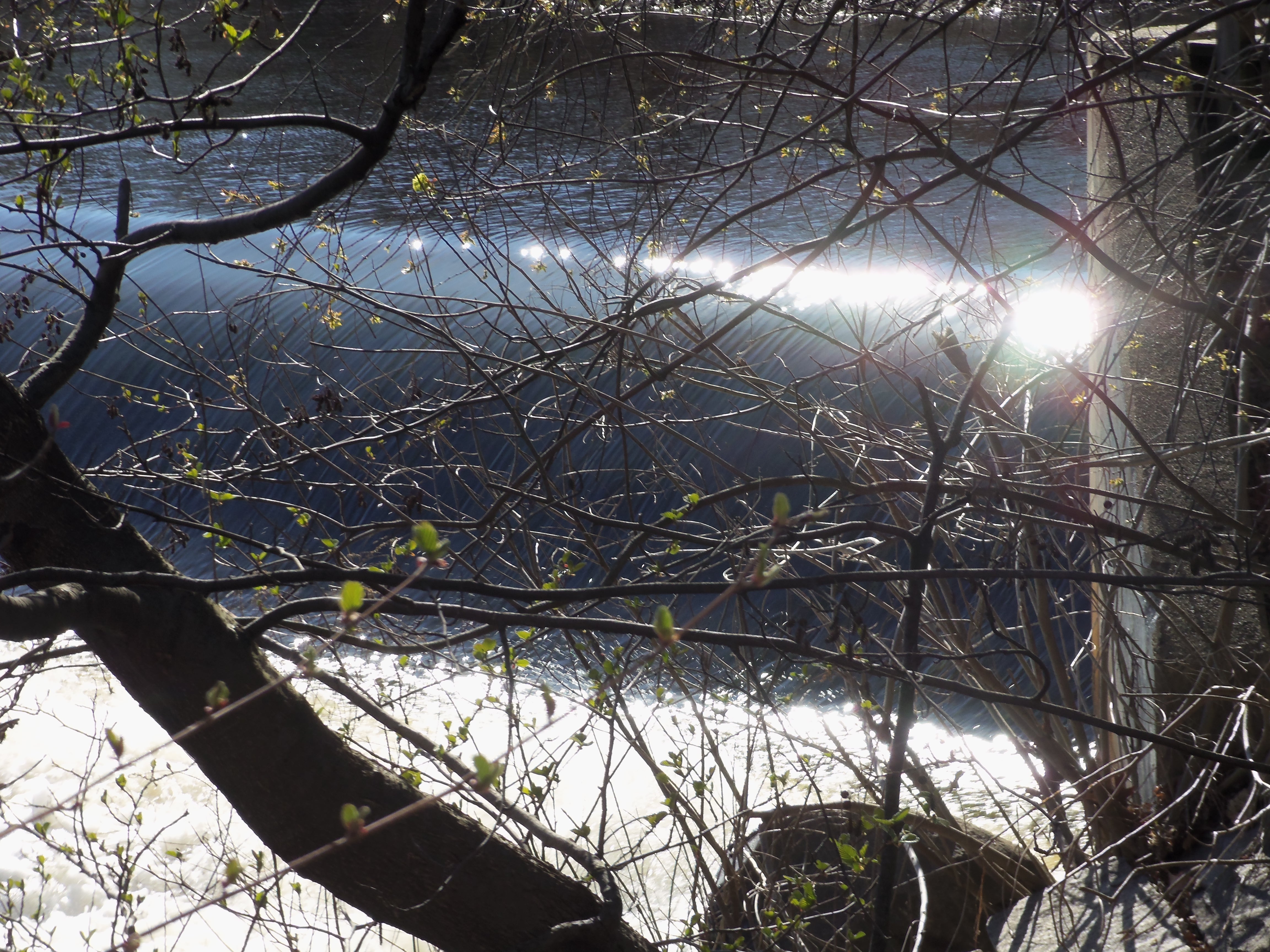
When the river herring run from the sea into freshwater streams to spawn a new generation, the cormorants tag along, along with a cloud of fishermen.

The herring, which include the alewife variety, are part of New England lore. Look closely here and you’ll see them crowded in under the shade along the river.

River herring rest in a pool along the Charles River in Massachusetts.

GRANITE STATE’S QUEEN CITY

Seen from the falls, Ste. Marie Roman Catholic church crowns Manchester's French-Canadian West Side.
Seen from the falls, Ste. Marie Roman Catholic church crowns Manchester’s French-Canadian West Side.

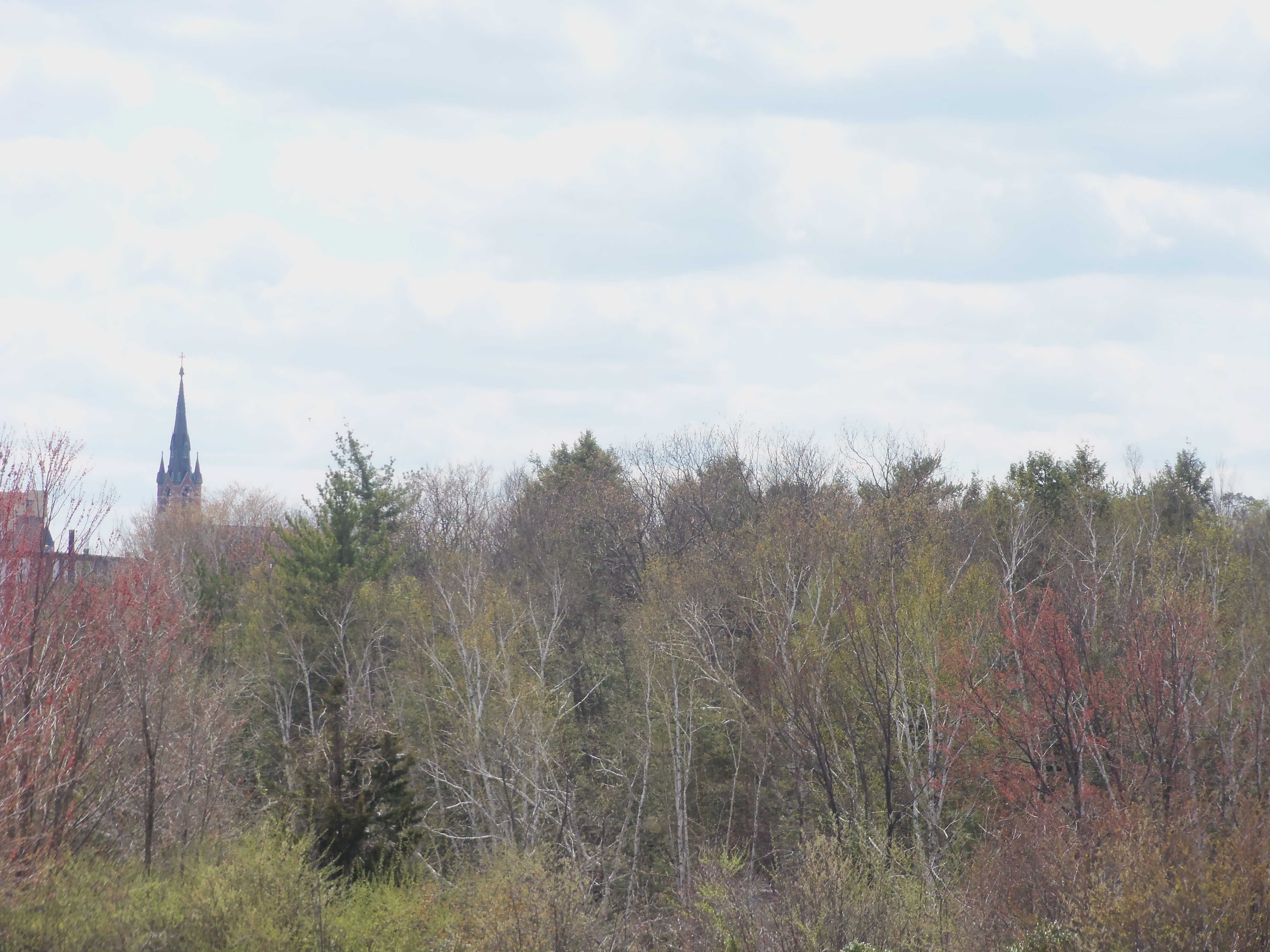
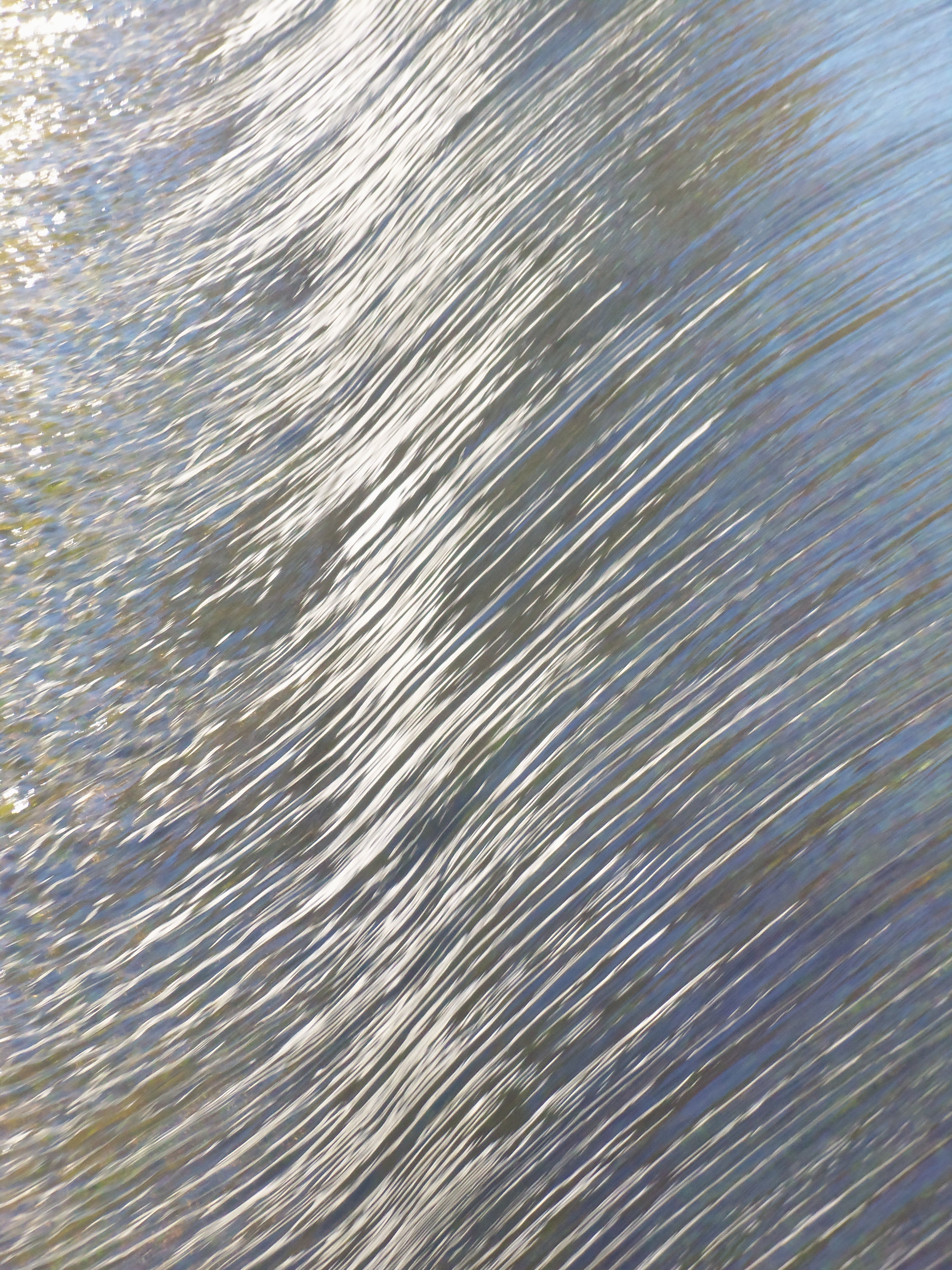
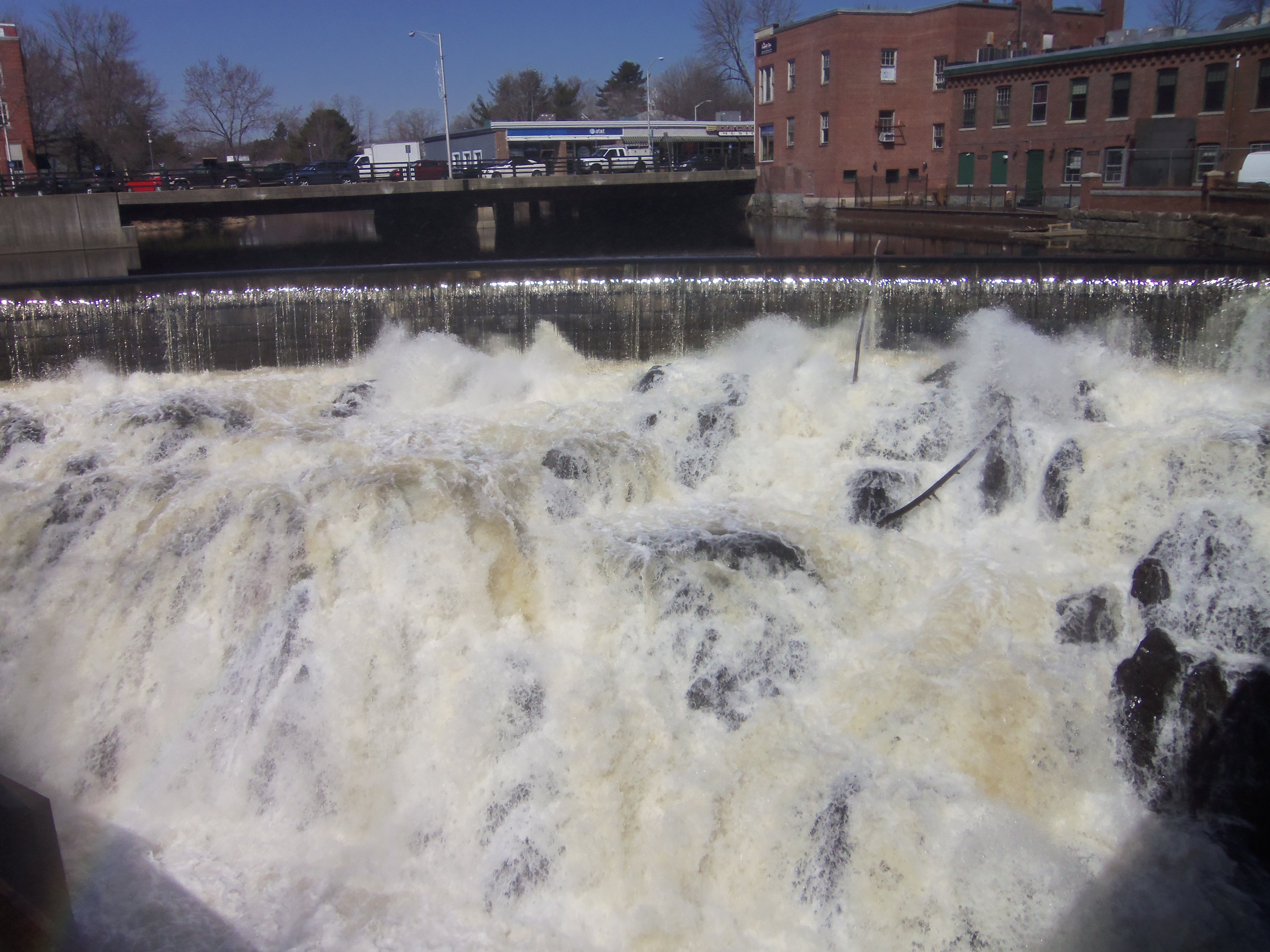
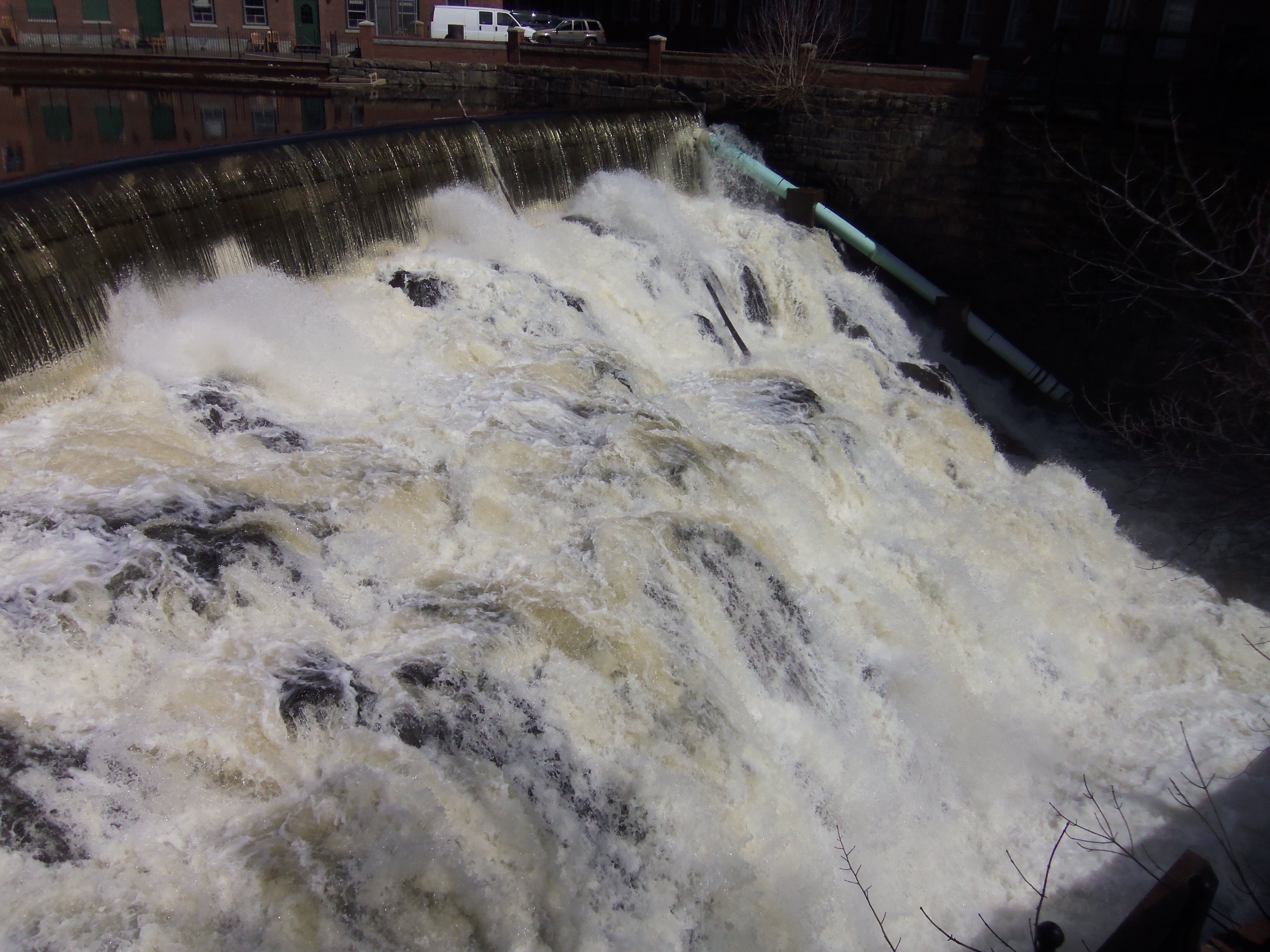
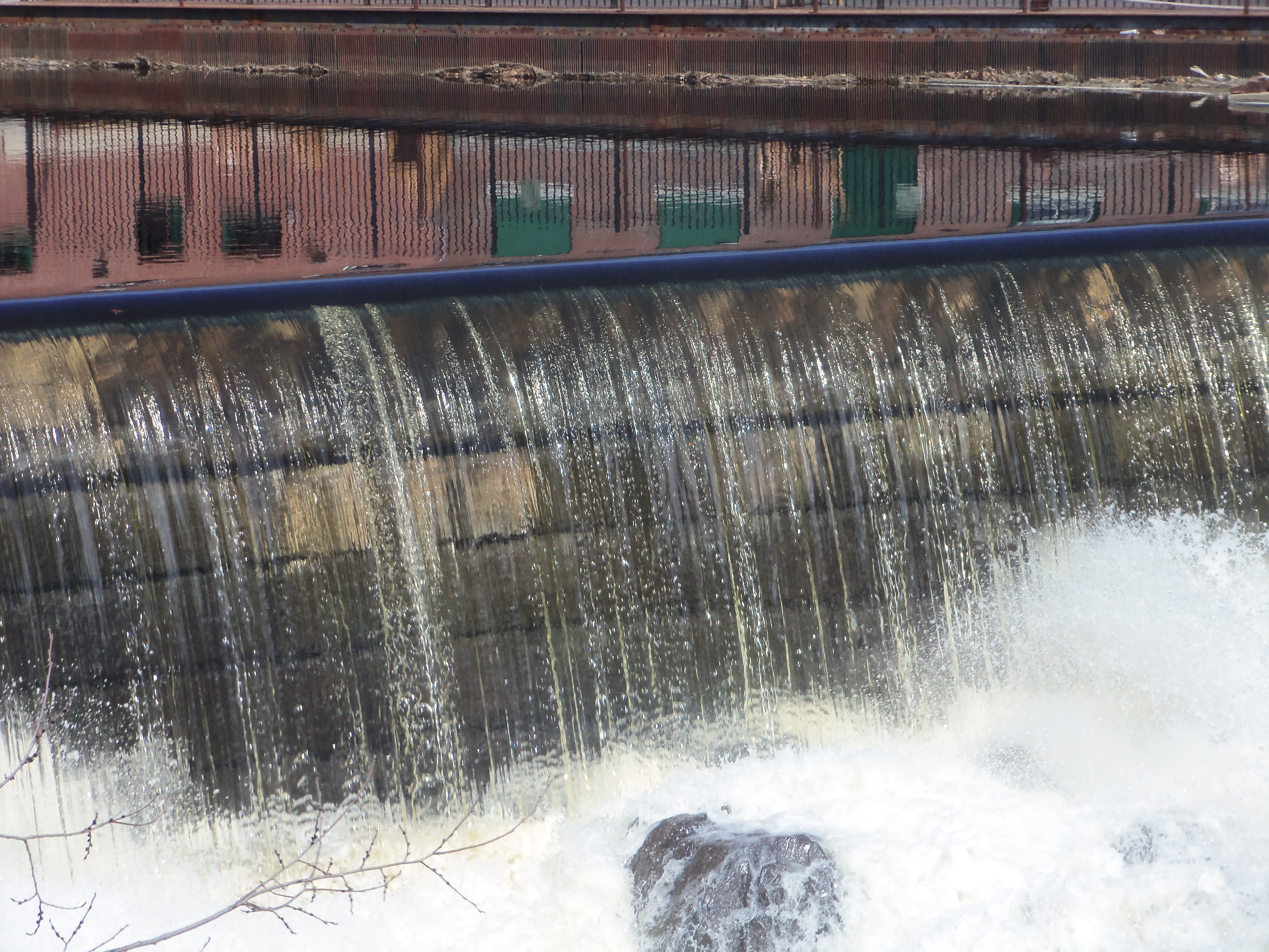
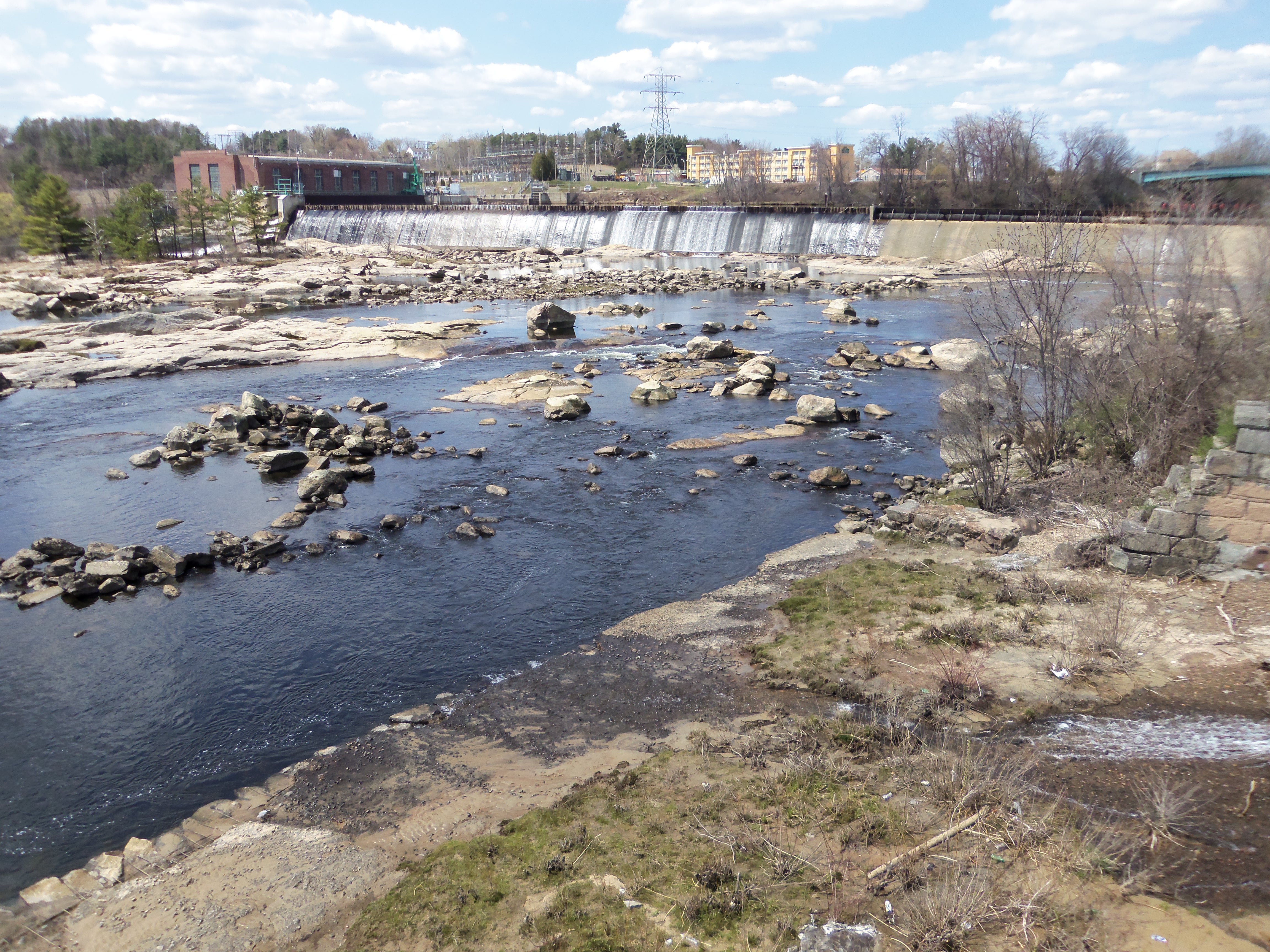
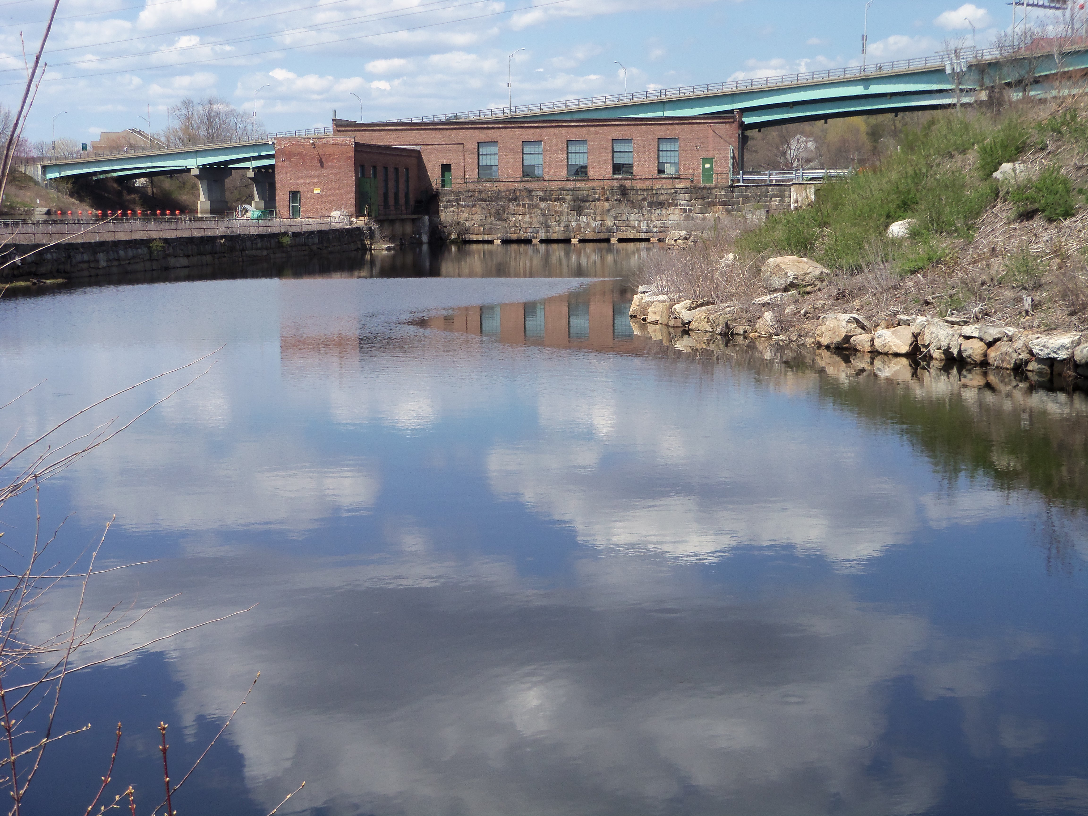
As the largest city in northern New England, Manchester was built on the water power captured at the Amoskeag Falls in the Merrimack River.

The Amoskeag Falls, now submerged behind the dam in the Merrimack River, were the source of the city's industrial power. A hydroelectric dam sits at the left of the photo.
The Amoskeag Falls, now submerged behind the dam in the Merrimack River, were the source of the city’s industrial power. A hydroelectric generating station sits at the left of the photo.
A large complex of mills on the east side of the river was powered by the water channeled through this canal.
The downtown has undergone a revival. Here's one of the side streets.
The downtown has undergone a revival. Here’s one of the side streets.


KURT’S EXPANSE

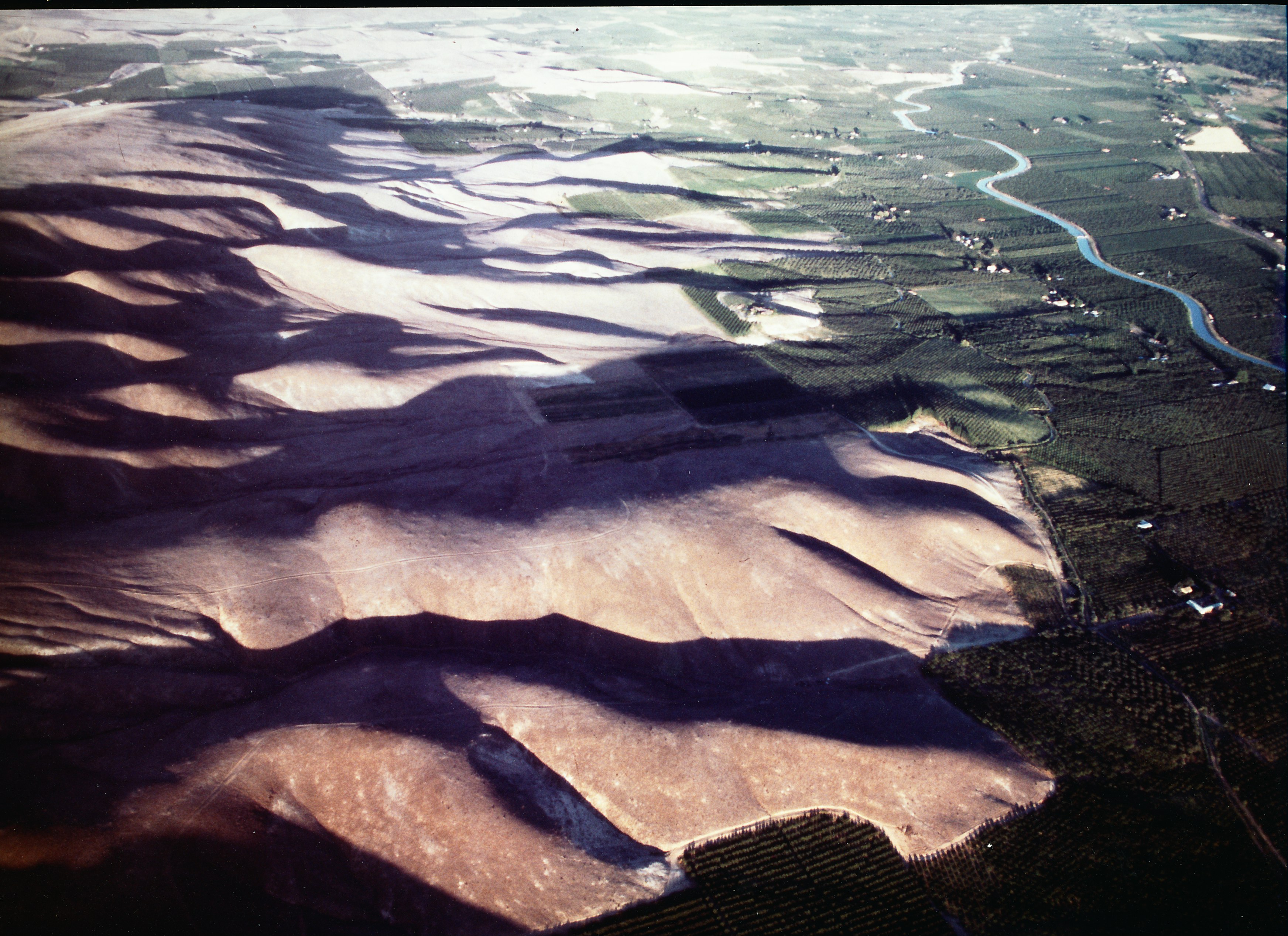
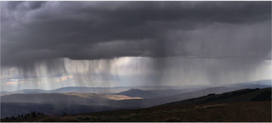
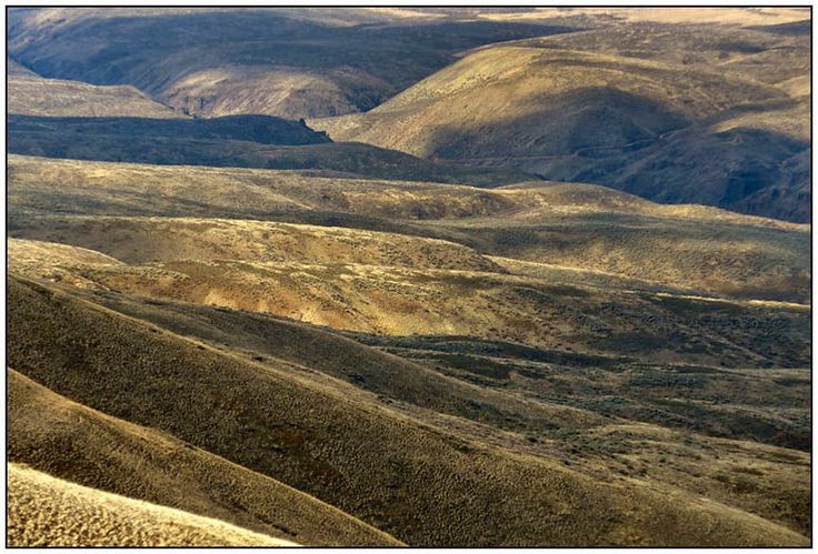
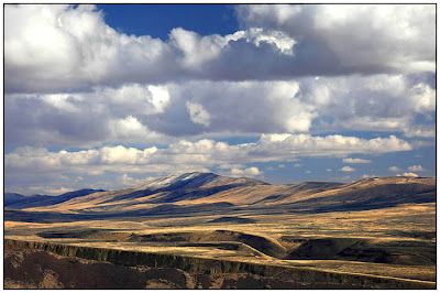
Trying to convey the experience of living in a desert to those who’ve known only moister climates often feels futile. It’s simply mindboggling, especially as you move away from the insulation of modern conveniences like air conditioning, automobiles, or even sunglasses. In its raw nature, this terrain is often life-threatening.

I’ve regretted not having a camera to record what I observed there, but one colleague from those years – another Ohio flatlander who relocated to the wet side of the Cascades after our journalist team was forced to scatter – has captured its essence better than anyone else I’ve come across.

Here are some of Kurt E. Smith’s images over the years of the land I call Katonkah Country. He has much more on his Seeing Small blog, which comes highly recommended. What he captures is sometimes enormous.

Hardy 3


Yakima Valley

Yakima Desert~*~

For my related poetry collections and novels, click here.