

You never know what we'll churn up in cleaning a stall
Coming to Colonial Pemaquid’s state-maintained historical site in Maine, I wasn’t prepared to find this.

It was far more than the wooden palisades found across much of early New England. It looked to me far more like something out of Scotland or a Monty Python movie.
This wasn’t even a reproduction of the first fort there, but rather the second.
The first was Fort Charles, built 1677 after the village had already been destroyed. That fortification was overrun and destroyed by the French and their Native allies in 1689.
Most of the usual attention to warfare between the English colonists and the Natives focuses on King Phillip’s war, which heavily impacted southern New England. Much of the heaviest toll, however, happened in the decades after that when the tribes allied with the French to the north. Those outbursts afflicted northern New England, including Dover, New Hampshire, for decades later.
That’s where Pemaquid, fortified to hold the Maine at the edge of English claims in the New World, comes into play with my story, Quaking Dover.
Dover was often on the frontier of English settlement, a thin ribbon along the coastline but barely reaching inland and thus nearly impossible to defend, at least much north of Boston.
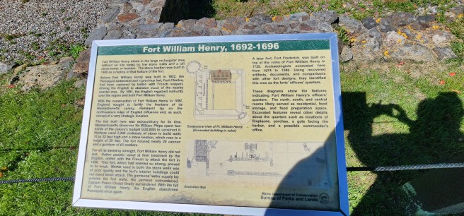
Once the English did reclaim this stretch of Maine from the French, the New Englanders built a new, second fortification, Fort William Henry, erected in the large rectangular area defined on the site today by low stone walls and a tall stone tower, or bastion. The stone bastion you see was built in 1908 as a replica of that feature of the fort.
As Maine’s online documentation explains, before the second Fort William Henry was built in 1692, the Pemaquid settlement and the previous fort had been captured by the French and their tribal allies, driving the English to abandon much of the nearby coastal area. By 1691, however, the English regained authority over the region and built Fort William Henry.
(I am fascinated by the tenacity of those who kept returning despite the costly odds.)
As you will find, with the construction of Fort William Henry in 1692, England sought to fortify the frontiers of its Massachusetts eastern district. Pemaquid lay on the northeastern edge of English influence and, as such, occupied a very strategic location.
The fort built here was extraordinary for its time. Massachusetts Governor Sir William Phips spent two-thirds of the colony’s budget (£20,000) to construct it. Workers used 2,000 cartloads of stone to build walls 10 to 22 feet high and a stone bastion, which rose to a height of 29 feet. The fort housed nearly 20 cannon and a garrison of 60 soldiers.
(Note that the costs were born by the New Englanders, not the British Crown.)
For all its seeming strength, Fort William Henry did not last. Native people, upset at their treatment by the English, united with the French to attack the fort in 1696. This fort, which had seemed so strong, proved to be weak. Mortar used to build the stone walls was of poor quality and the fort’s interior buildings could not stand bomb attack. The garrison’s water supply lay outside the fort walls. His garrison outnumbered, Captain Pasco Chubb finally surrendered. With the fall of Fort William Henry, the English abandoned Pemaquid once again.
(If this were fiction, I can’t imagine what to do with a name like Captain Pasco Chubb. Especially as an Englishman.)
Well, that’s an official account, one I for now I find no reason to quibble with. What does change my earlier perspective, however, is Fort Frederick, erected in 1729 and dismantled in 1775 to keep it out of British occupation in the Revolutionary war.
It never faced hostilities with the Natives, which seriously makes me reconsider a much earlier reoccupation of Maine by English settlers, something I had largely ruled out before 1763, the end of the French and Indian wars. Now see that’s not quite accurate, though it still seems to apply Downeast, where I now live.
So much for these confessions of an amateur historian.


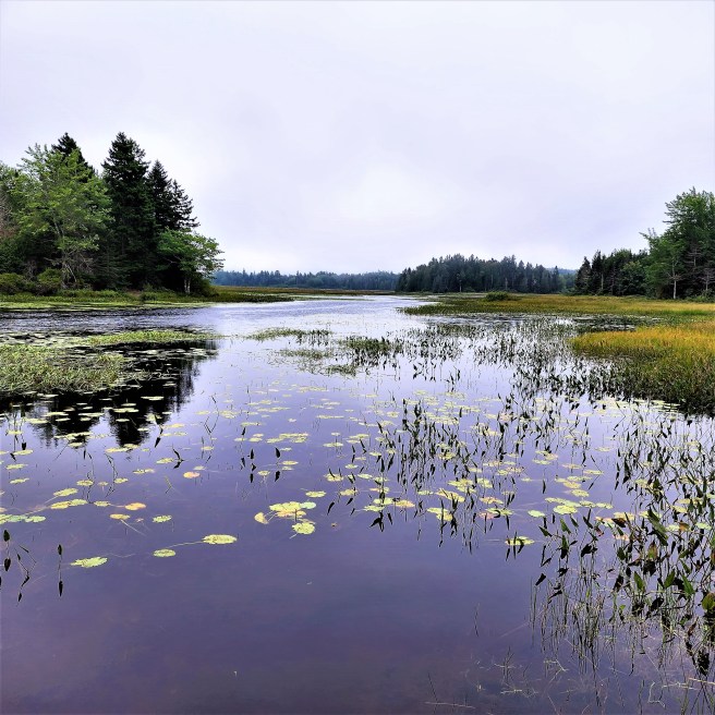
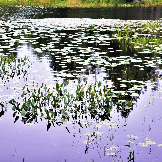
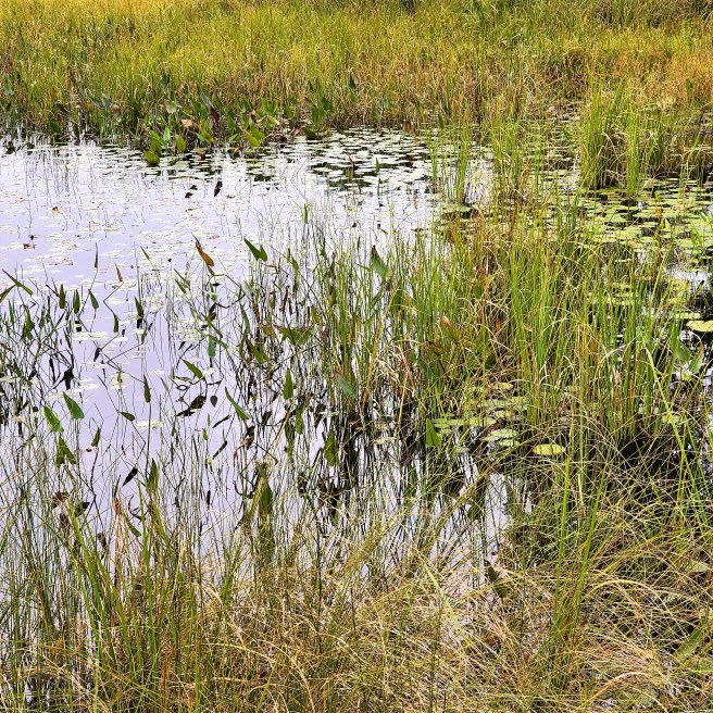
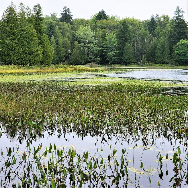
Streams passing through Maine forests often open out into a wetland known as a flowage, a flooding typically caused by beaver dams or other impoundments. The resulting broad habit is crucial to waterfowl production, and also provides for excellent kayaking, canoeing, and fishing.
These shots are all from one spot. Note the beaver lodge in the last one.
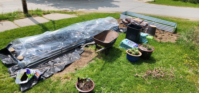
Filling the new beds with clean soil atop a landscape fabric and cardboard barrier against weeds and the tainted ground below takes shape. Our planting season here naturally runs late – early June still had overnight low temperatures in the 40s. So transplanting seedlings is running on schedule.
The plastic is to help warm the soil.
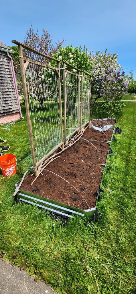
The upright frames are for peas, which will probably continue to produce through the summer, thanks to the cooler temperatures. Tomatoes, though, will be tricky.
The biggest challenge will be deer, as you’ll see.
A monument at Colonial Pemaquid acknowledging to the 1635 tragic sinking of a ship caught me up short. I had forgotten the vessel’s impact on Dover.
As background, the ship had been commissioned for Sir Walter Raleigh’s last expedition to America in 1617 and in several subsequent incarnations been involved in some high seas adventures, staving off repeated boarding by pirates and beating off three Spanish ships. Not that I knew that in my initial research.
As the monument at the Maine historical site proclaims, the Angel Gabriel was a 250-ton galleon carrying settlers to new lives in New England in August 1635 when it anchored at the village of Pemaquid. Most of the passengers and crew got off the ship before nightfall to rest on land as guests of the villagers. That night, August 14-15, a storm later known as “The Great Colonial Hurricane” struck the area and the Angel Gabriel was torn from her anchors and destroyed.
Or maybe it had happened earlier and the ship had limped into harbor. Still, I’m quoting there, from an account that continues: “In the mid 1970s, efforts were made to locate the wreck in Pemaquid Harbor with divers and a magnatometer and sideccan sonar but no artifacts form the ship were ever located.”
For context, “The Angel Gabriel was very similar to the Mayflower but 18 feet longer and bearing four more gun ports per side.”
I am now curious to see whether the small museum displays a trunk that went down with the ship and was found floating the next day. It belonged to a passenger named John Cogswell and his descendant of the same name agreed to lend the trunk for display.

This marker, though, stirred up some memories of a section that got cut from the final version of my book Quaking Dover.
Here’s what I had:
Three Dover Combination signers shared a tragic introduction to the New World when their ship, the Angel Gabriel, broke up in the August 14 “Great Colonial Hurricane of 1635,” either in the harbor at Pemaquid, Maine, or at the Isles of Shoals.
[Note the clarification in the site of the disaster in the bronze monument.]
Twenty-one-year-old William Furber settled next to his brother-in-law, John Bickford, at Oyster River and later relocated to Bloody Point, opposite Hilton Point on Great Bay. He married Elizabeth Clarke, daughter of William Clarke and Elizabeth Quick, in 1642 in Dover.
(The Bickford family, meanwhile, has John landing at Dover in 1623 and marrying Temperance Furber in 1624 in New Hampshire. If these dates and locations can be supported, they would significantly change the early history of the Piscataqua settlement. Their son, John, though, was born in 1625 in Devon, England.)
Samuel Haines was an indentured servant or apprentice to John Cogswell, who was also aboard and survived. They were bound for Ipswich [Massachusetts], where Haines finished his obligations the following year and may have moved at that time to Northam, as Dover was also called.
He did, however, return to England in 1638 and married Ellenor Neate within a few weeks after his arrival, suggesting they were engaged before his coming to America.
After a year-and-a-half, they set sail and established their home in Northam/Dover, where he had ten acres of land near the meetinghouse. Later, he had twenty acres on the Back River, where his neighbors were fellow Angel Gabriel survivors William Furber and John Tuttle.
He was taxed in Dover in 1648 and 1649.
In 1650 he leased Captain Francis Champernown’s Green Land farm for two years, and then secured ninety-one acres adjoining it, where he built a permanent home, and another ten acres where he eventually owned a mill. In 1653 he was one of the petitioners successfully asking the Massachusetts General Court to change the town name from Strawbery Banke to Portsmouth. That year he began the first of ten successive years as a town selectman. In 1666 he helped run the town line between Portsmouth and Hampton.
He was also the first deacon at the formal organization of the first church in Portsmouth in 1671.
At much of this time, the population of what now constitutes New Castle, Portsmouth, Greenland, and Newington was only fifty to sixty families.
Much less is known about survivor John Tuttle, who was about seventeen years old at the time of the disaster. After their rescue, he arrived in Chebasco (in Essex or Ispwich, Massachusetts). His age and destination suggest his situation may have been similar to Haines’. By 1638 Tuttle settled in Dover, where he was known as Shipwreck John and had a farm on today’s Bellamy River – one that grew into what was long known as America’s oldest family-owned and operated enterprise. (Never mind that Thomas Roberts’ heirs nearby would have a longer claim.) Tuttle’s son Thomas was killed by a falling tree while still a young teenager, leaving John Jr. to continue the family name.
~*~
Successive Tuttles became prominent Quakers. And, as I inserted, the monument is more specific about the scene of the disaster than I’d previously found.


“The warm air temperatures in the upper 60s Saturday afternoon may cause people to underestimate the dangers of the cold water temperatures which are currently in the mid 40s.”
Not to speak of the strong currents.
Gee, we are surrounded by danger in all this beauty.

