Captain John and Esther’s adult children eventually built their own homes more or less within a half-moon crescent about a block away in each direction around our house.
John Shackford junior built on the southeast corner of what’s now Water and Middle streets. He married Elizabeth Batson (1790-1830), and probably remarried another Elizabeth afterward.
William built at the southwest corner of Shackford and Middle streets — just beyond the diagonal edge of our block. He married his sister-in-law, Sarah Ann Batson (1788-1837) in 1807, and then Mary Cutter Lincoln, who survived him. She was the daughter of Captain Jacob Lincoln, whose 1790 farm is now the Rossport by the Sea resort in Eastport’s Quoddy Village neighborhood.
Jacob Shackford, meanwhile, built at the southwest corner of Water and Key streets. He married Eliza D. Pearce/Pierce (1794-1869). She was the sister of Darius, husband of Jacob’s sister Hannah. Eliza was born in Rhode Island, like her brother, and died barely a month after her husband’s passing.
Samuel, probably the first male child born in Eastport, died in 1820 of yellow fever at Demerare, South America. He had married Elizabeth, daughter of Otis and Elizabeth Lincoln of Perry, before the Shackford siblings divided the holdings. His son Samuel received a half-share in Captain John’s will. More on him later. Elizabeth, meanwhile, is the Mrs. Eliza Shackford who married Captain Silvanus Appleby on October 16, 1825, officiated by Charles Morgridge.
The repeated surnames among the spouses continues over the next generation or two. Finding siblings in one family marrying another set of siblings is not uncommon in the period.
Darius Hannah and her husband, Captain Darius Pearce/Pierce, built at 9 Shackford Street, a block northeast of our house. Born in Rhode Island to a prominent family, he came to Eastport and, after marrying, was a surveyor by 1833, the customs inspector in Eastport by 1841, and a merchant.
Daughter Esther and her husband, Joshua Hinckley, lived on Key Street, just to the west of Jacob. She died, 1880, in Dennysville. Joshua’s father, Matthew, had died at sea in 1809 near Sulawesi Tengah, Indonesia; he was born in 1752 in Georgetown, Maine. (Also born in Georgetown and living in Eastport was John Hinkley (1764-after 1850), son of John Hinkley. Cousins?) The Hinkleys, we should note, were among the early returnees to Maine amid the devastating travails of the French and Indian wars. Joshua and his wife, Esther, were living in Portland in 1823 and relocated to Eastport shortly afterward.
Sarah M. “Sally” and her husband, Captain John Lincoln, remain largely nebulous. I had even wondered if they died at sea. Many captains’ wives accompanied their husbands on long voyages, typically serving as navigators as their children grew up aboard ships. What I did eventually find was a real estate transfer dated October 15, 1832, where “Sarah Lincoln, widow of John Lincoln, shipmaster” sold her one-sixth share in the 1826 land purchase to her brothers William and Jacob and brother-in-law Darius Pearce/Pierce for $150. She was born in 1795 and died in 1846.
The Lincolns, who originate in Hingham, Massachusetts, include a branch that came north after Benjamin Lincoln, a celebrated Revolutionary War General, and two others purchased 10,000 acres in to Washington County. His son Theodore arrived to oversee those holdings and, in establishing a related timber industry, was an original settler of Dennysville. Other portions of the tract extended into what would become the towns of Pembroke and Perry. His brother Jacob, came to Moose Island, as noted. And their cousin Otis was an early settler of Perry. They’re the source where the Shackford marriages fit in. Another branch led from Hingham to the 16th president of the United States, should you be asking.
Even before getting to John and Esther’s grandchildren and beyond, I had many loose ends of potential owners of our house who may have led to Lucy M. Hooper of Boston and Brooklyn, New York, and also Anne Dodge and Mary Roberts, both of Boston, the ones who sold the house in July 1875. Trying to run the deeds from them and down to the Shackfords had me stonewalled.
Who were they and how did they come into its ownership?
All of it, of course, has relevance on the house we bought.
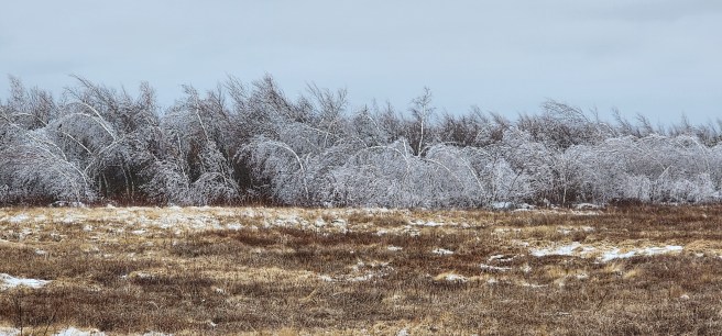
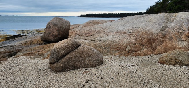 There are times when we could use a geologist on our explorations. At others, perhaps a Zen Buddhist master would be more appropriate.
 This was an accidental shot in the Vietnamese restaurant in Bangor, Maine, and no, my feet were actually on the floor. But somehow this does look like a rice-paper wall in a classic Japanese home. I’d definitely enjoy dining there, too, maybe even with my feet up.