

You never know what we'll churn up in cleaning a stall
Eastport is a city, after all, and many of the homes are packed in close together. Not that it matters to our local wildlife.


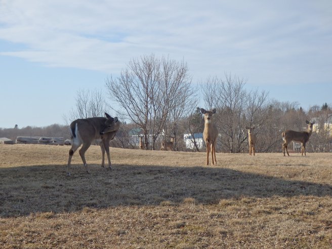


They’re so much a part of the place they even have their own Facebook page, Deer Eastport, and it is very active.
No matter how cute, though, they’re a gardening challenge. As are the raccoons.


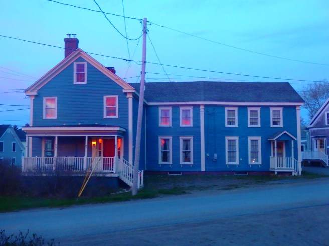
But I knew nobody was home. Instead, the illumination was only the reflection of another brilliant dawn and blazing sunrise.


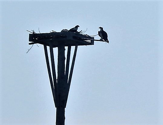


There they were, down by the lobster pier. I’m assuming they’re used in the new system of stringing traps in a row along the bottom, rather than lines going straight down from a buoy, to reduce the possibility of entangling whales.


