
Early twilight
You never know what we'll churn up in cleaning a stall

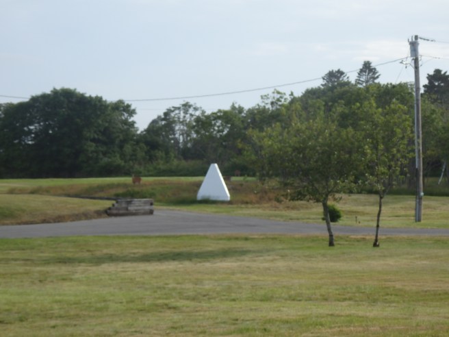
Pyramids like this sit in prominent spots along the shore. They can seem mystifying enough, even before you see a second one nearby.
At last, I learned the two can be lined up to create an imaginary line running out across the water. The border between the United States and Canada falls where the line crosses a similar line running from islands on the other side. That spot can then be connected to others, at least by some kind of maritime surveyors. It’s another example of connect-the-dots.
The four-sided pyramids are called range markers. They’re a special kind of daymark or day beacon, too.
Seeing railroad boxcars away from the tracks around here no longer surprises me. Many of them stand beside farmhouses and sheds or even businesses, where they serve as extra storage space, presumably cheap or for the taking.
But this sight along State Route 191 always grabs me.
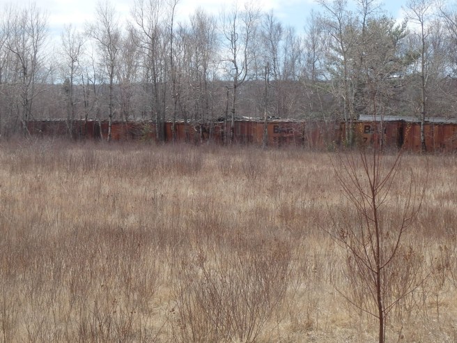
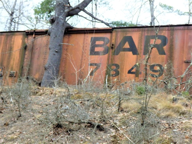
The Bangor and Aroostook Railroad served Washington County as well as the Penobscot Bay region and the spud country up north.


Like eagles, they can have long wingspans that stretch straight out when soaring. And unlike eagles, they can hover, as they do over water before plunging in a power dive and coming up with a fish. Not that I’ll ever get a shot of that with a simple camera.


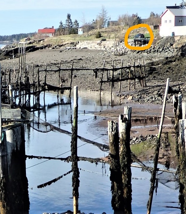
I know I keep talking about the dramatic tides around here, but the SUV in the circle offers a measure of just how far out the water goes twice daily.


 Has to be the biggest business employer in Washington County, where jobs that pay well are scarce. Some days, the vapor plumes can be seen miles away, and ditto for the smell. Much of the bundled pulp is shipped from the Cargo Pier in Eastport.
The plant also makes kraft paper and tissue.
