They’re only a block apart on Middle Street but quite different takes on the witch’s hat tower that her family had in my novel What’s Left.


You never know what we'll churn up in cleaning a stall
They’re only a block apart on Middle Street but quite different takes on the witch’s hat tower that her family had in my novel What’s Left.
Some people and places just get bad raps for no reason. That used to be the case for the neighborhood just south of Battery Street. Or Assault and Battery, as the ditty went.
Or, in the more salacious version, Sodom and Gomorrah.

Residents of the allegedly more reputable North End of town, meanwhile, got dubbed Dog Islanders, after the tiny island at its tip, one that once had a lighthouse nobody in town could see.

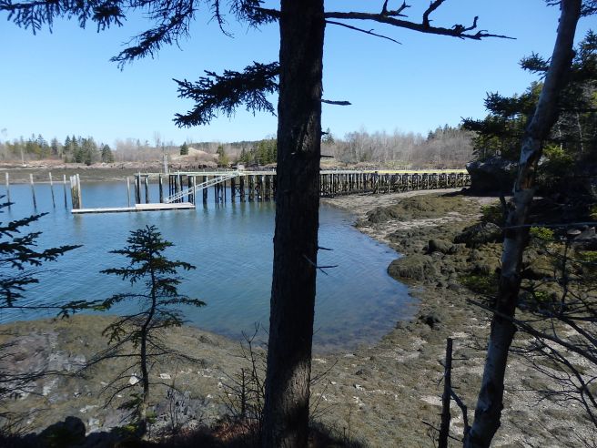
Definitively, the two parts of the village were separated by Shackford Cove (aka Huston’s) , which ran further inland than it does today, as well as a seemingly nameless stream at the bottom of some steep banks. And the cove did have four shipyards at one time as well as the world’s largest sardine cannery a bit later.

Today, though, it has some fine homes mixed in, a few with some of the most spectacular views in town.
When it comes to finding your way about town, you need to know more than just the names of the streets.
Eastport’s a city of islands, with Moose Island the biggest and most inhabited. It’s roughly six miles long and three wide, at the most, but that still adds up to 20 or so miles of shoreline, I’m guessing.
So people will refer to Buckman Head or Estes Head or Todd Head or Kendall Head or, for variety, Harris Point, punctuated by coves.
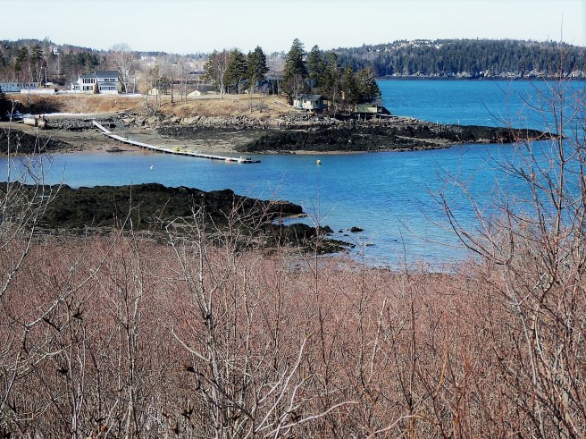
So there’s Broad Cove or Deep Cove, which flank Shackford Head, or Prince Cove, for instance. As well as Carrying Place, Half Moon, and Johnson coves. Plus a few more. And that’s before we get to the neighboring towns, up and down the coast, which also name places this way.
Welcome to my new world.

Anchoring one end of Eastport’s main street downtown is the Post Office and former Customs House.
Though the Customs role has moved closer to the Breakwater but not so the mail, especially this time of year..


Maine is larger than the rest of New England combined, and except for much of Vermont, it was settled much later than the rest of the six-state region. That is, the parts of the state that were ever settled at all. Half of the Pine Tree State has no year-round population at all, for good reason.
The result is that there are paved roads where you can drive for miles and see nary a utility line or a mailbox, much less a house. Often, the only human activity you detect is timbering or mining. Hunting and fishing are a way of life. It wasn’t that far out of Bangor I used to see the bear-hunt guide sign.
Those roads remind me of driving from town and out toward a mountain pass on my way to trails in the high country out West.

Downeast Maine’s open blueberry barrens on the ridges, meanwhile, give me a sensation of the Big Sky Country of Montana or the Horse Heaven Hills of Washington state, except that the blue overhead isn’t the same deep intensity.
I believe that the presence of Indigenous peoples is another part of the mix. Eastport is adjacent to the Passamaquoddy’s Pleasant Point Reservation, as we’re reminded every time we drive to or from our island. They’re one of the four tribes comprising the Wabanaki Alliance in the state.
Yes, there is a kind of frontier feel around here. I’d suggest calling the area the Far East, but that name’s already been taken.
Fact is, many of the old ships that sailed to the Far East were built along these shores rather than those of the Far West.

