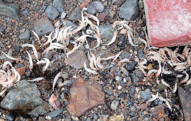
You never know what we'll churn up in cleaning a stall


Except for a highway way up north, there are only two east-west routes across sprawling Washington County, either one requiring an hour-and-a-half drive from Eastport to the county line and the rest of the nation (and that’s including a shortcut, if you can find it).
One is U.S. 1, which more or less follows the coastline – or the Bold Coast, as it’s also designated. It passes through some lovely seaport towns and includes spectacular views of Mount Desert Island and its Acadia National Park as well as the northern reaches of Penobscot Bay.
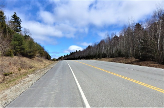
The other is more direct. State Route 9, or Airline Highway, stretches 90 miles from Bangor to the Canadian border at Calais. Much of it passes through uninhabited townships of scraggly forest and swamp or along ridges with blueberry barrens and views that stretch for miles. It carries major truck traffic to and from New Brunswick.
But Airline? For a road?
The name, it turns out, comes from the Air Line Stagecoach company, which began using the oxcart trail in 1857. At the time, “air line” was a term for the straightest line between two points – or, in another common phrase, “as the crow flies.”
Its backers hoped to encourage settlement and economic development along the route, but the land was too rocky for commercial farming and the blackflies and mosquitoes could make even summer miserable. Later, mechanization reduced employment in the logging industry, depleting what little population there was.
My initial visits to eastern Maine back in the early 1990s shocked me with the prevalent poverty. I thought I was in West Virginia. A harsh reality is often overlooked between the picturesque coast and the wilderness adventures in the north.
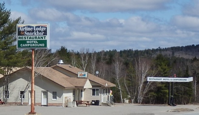
That awareness has been amplified after moving Downeast. Many rural homes are surrounded by debris, everything from boat hulls that will never sail again to earthmoving equipment that has gone to rust to a row of cars that would otherwise qualify as a junkyard.
Here’s an extreme case.


That’s how the Native name Machias translates.


The tranquil city of Machias at the falls is the Washington County seat.
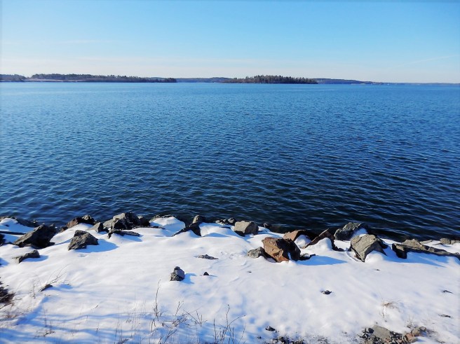
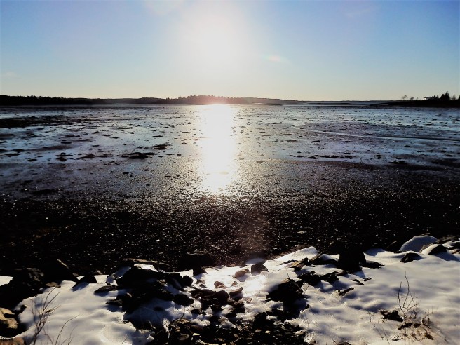
Our tides vary between 15 and 25 feet, depending on the moon cycle, and half of that change occurs in just two hours, halfway between high and low. It still amazes me.