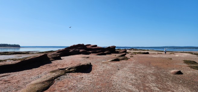
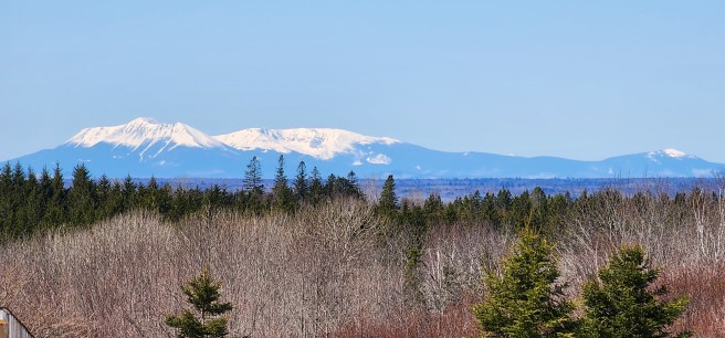
Despite our many trips to Cape Cod back when I lived not that far away in New Hampshire, I never got around to visiting tony and history-laden Martha’s Vineyard or neighboring Nantucket. It’s an oversight I don’t want to repeat when it comes to Grand Manan, an impressive Canadian island we can see from some points here in Eastport, Maine.
I am hoping to get there this year. Even if I don’t, here are some high points:
- Its closest point on the mainland is the town of Lubec Maine, nine miles across the Grand Manan Channel. For mainland New Brunswick, it’s Blacks Harbor, 20 miles over the Bay of Fundy. Yet if you look at most maps of Maine, it doesn’t show up at all, despite its proximity. That part
- As the largest of the 25-plus Fundy Islands, Grand Manan is 21 miles long and has a maximum width of 11 miles, covering 53 square miles in all. (Campobello and Deer Island, which border Eastport, are the second and third largest, respectfully.) It’s home to 2,595 year-round residents.
- The principal way of getting there is by a 90-minute ferry ride from Blacks Harbour. Reservations are recommended, both ways.
- For comparison, Martha’s Vineyard is 20.5 miles long, covers 96 square miles, takes a 45-minute ferry jaunt, and has 20,530 full-timers; Nantucket covers 45 square miles, is a 2¼-hour commute by traditional ferry, and has 14,444 residents. Both of the Massachusetts towns are much wealthier than Grand Manon, where most folks eke out their living “on the water.”
- The economy is based primarily upon commercial fishing – lobster, herring, scallops, and crab – plus ocean salmon farms and clam digging.
- For the traveler, the island is largely a step back in time, with a single highway along the eastern half, where most of the modest residents live. That leads to the rest of the Grand Manan archipelago of nearby smaller islands such as popular White Head (reachable by a second ferry ride), Ross Cheney, and the Wood islands, plus countless surrounding shoaling rocks. Meanwhile, the rugged and forested western side, with 300-foot-high cliffs, high winds, numerous passages, coves, and rocky reefs, incorporates wildlife-rich preserves.
- Tourism, the second source of income, provides unspoiled ocean views, whale-watch cruises – rare right whale breeding grounds adjoin its waters – as well as kayaking, hiking, camping, photography, painting, and bird-watching with more than 240 species, including nesting puffins in season.
- Among the lighthouses to check out are Gannet Rock, Swallowtail, Southwest Head, Long Eddy Point, Long Point, and Great Duck Island. Not all of them are what you would call picturesque or prime condition. Not to slight them.
- Linguistically, “Manan” is a corruption of mun-an-ook or man-an-ook, meaning “island place” or “the island” in the local First Nations’ language. The suffix ook, meanwhile, means “people of.” French explorer Samuel de Champlain recorded the place as Manthane on a 1606 map and later changed it to Menane or Menasne – close enough in sound. So if Manan already means “island,” why be redundant? You don’t need to add “island” to the Vineyard or Nantucket, either – everybody knows what you mean without it.
- Grand Manan’s not for everyone. As one review said, “A long way to travel for nothing. Nice rocks but you can see those in Maine. Sea glass was hard to find and sparse. Very poor, depressed area. Lighthouses are ugly and there is nothing to really do other than hiking, which you can also do in Maine. Ferry stunk and was disgusting. Never saw any whales or seals. Nothing on the island except rundown shacks. All the online promotions are just hype. Waste of a day. … Go to Campobello island, it’s 100% better.” In short, sounds right up my alley for adventure.
The first permanent settlement, by the way, was in 1784 by Loyalists fleeing the U.S. at the close of the American Revolutionary War, a common occurrence across New Brunswick.
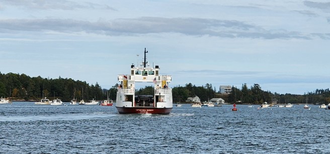 A state ferry conveys autos and passengers along the Fox Islands Thoroughfare as it links North Haven Island and the mainland on one of three daily runs. This shot was taken aboard the historic schooner Louis R. French last summer.

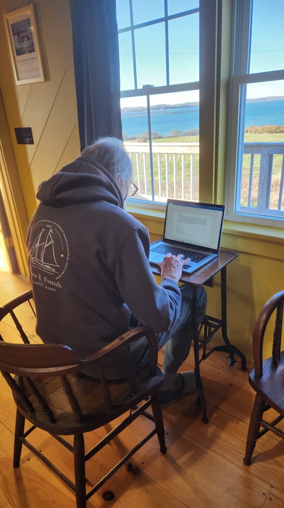 Here I am at the keyboard while overlooking Lubec Channel from a rented cabin at West Quoddy Station, a former U.S. Coast Guard lifesaving post. We needed to vacate our home for two days during its renovation, and we settled on this, still in sight of Eastport on the water to the north and yet a world away.

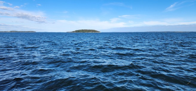 As seen from a cruise aboard the historic schooner Louis R. French on Penobscot Bay last summer.
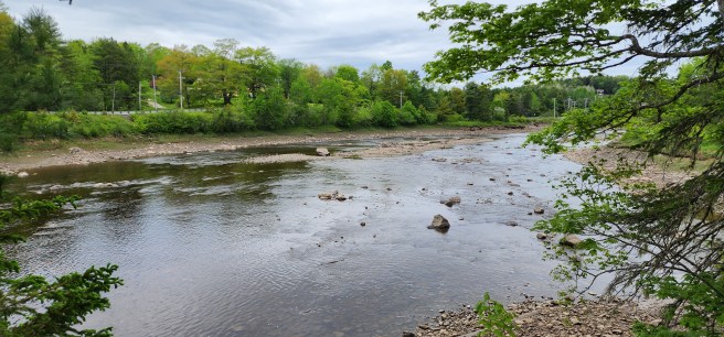 I just missed a shot of two eagles. A week later, with the water higher, I watched two harbor seals at play. Cobscook Bay is less than a mile downstream.