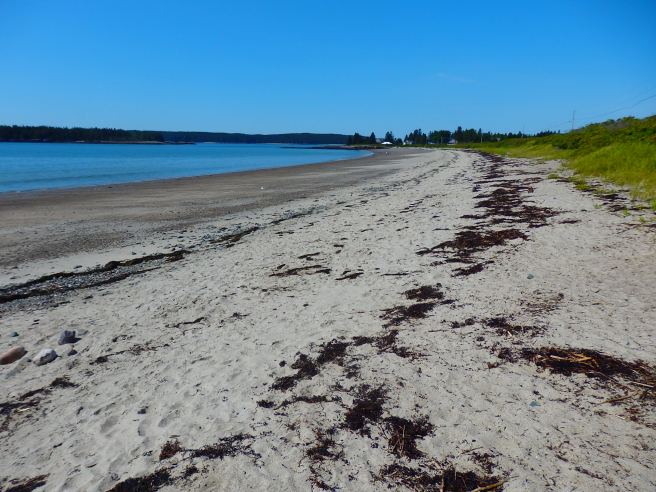
Roque Beach State Park, a few miles south of Machias, is one of the rare sandy beaches in an otherwise rocky shoreline.
The water is too cold for swimming, for most of us, though some sports will take a dunk.
You never know what we'll churn up in cleaning a stall
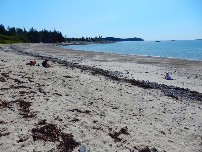
Roque Beach State Park, a few miles south of Machias, is one of the rare sandy beaches in an otherwise rocky shoreline.
The water is too cold for swimming, for most of us, though some sports will take a dunk.
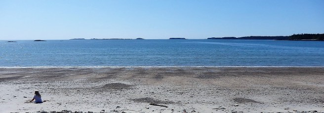
The day I shot these, I encountered only one other person in two hours … and that was just as I was leaving. Admittedly, I arrived around 7 as a foggy dawn lifted and then listened to a mournful foghorn in the neighboring Bailey’s Mistake cove much of the morning. How could I not be elated?
In 1988, the Maine Coastal Heritage Trust secured the property now known as Boot Head Preserve, saving it from a planned 35-lot subdivision and instead opening it to public enjoyment. It’s a gem that includes coastal hiking, a cove with a cobble beach, and an arctic peat bog.
Promise me you won’t tell anyone else.


Unlike the two most photographed and visited lighthouses around here – East Quoddy on Campobello Island, New Brunswick, and West Quoddy in Lubec, Maine, both of which have been featured here at the Barn – the remaining lighthouses I encounter locally are small-scale. They’re beacons, all right, but to call them houses may push the definition.
You be the judge. Here they are.


Officially, Eastport sits on Moose Island, though I have yet to see one here.
This time of year, though, it’s covered with flowering lupine, gloriously so. You’d never imagine the kind of winter we’d had.


My wife is quite fond of wild Ox-Eye Daisies – not the bigger and, to her view, coarser Shastas. But she’s usually saddened each year when the Black-Eyed Susans arrive about this time, announcing the end of the Ox-Eyes’ blooming. Not so in Eastport, where, to her delight, some continue through August.


Eastport may be a city, but much of it is still forest.
Shackford Head, between Broad Cove and Deep Cove, has one of those. And it’s a state park. Mercifully, it even escaped becoming an oil refinery in the 1970s and ’80s, thanks to some dedicated citizen action.

I should note that the Shackford family, so prominent in the settling of Eastport, had roots in Dover, New Hampshire, before spreading into Newburyport, Massachusetts, and then shooting up here. It seems that our house was built in the 1830s by one of them.
Apart from that, the 90-acre state park allows for some delightful hiking and vistas without having to drive miles from home. You know, needed a quick fix of more nature.


